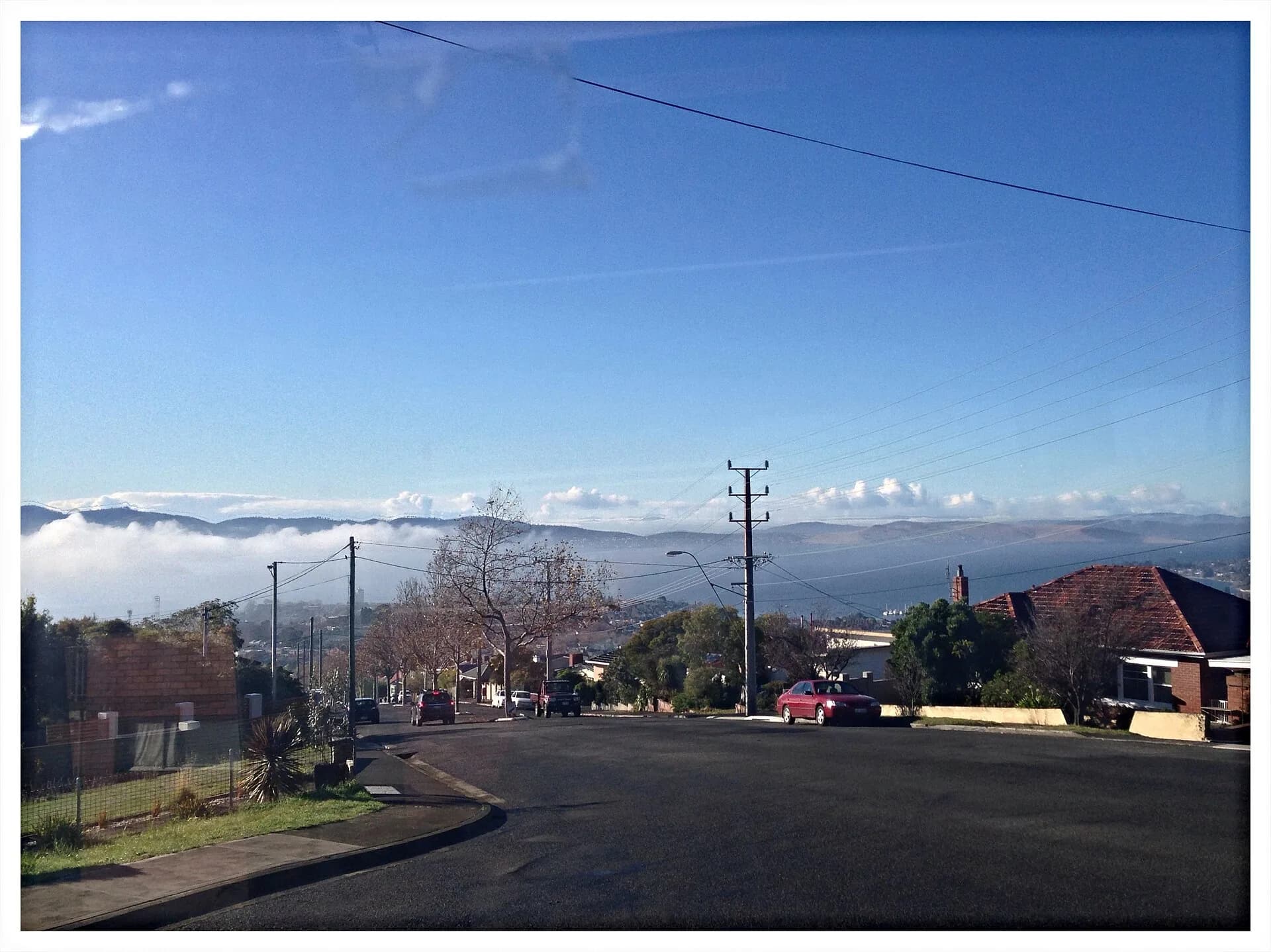

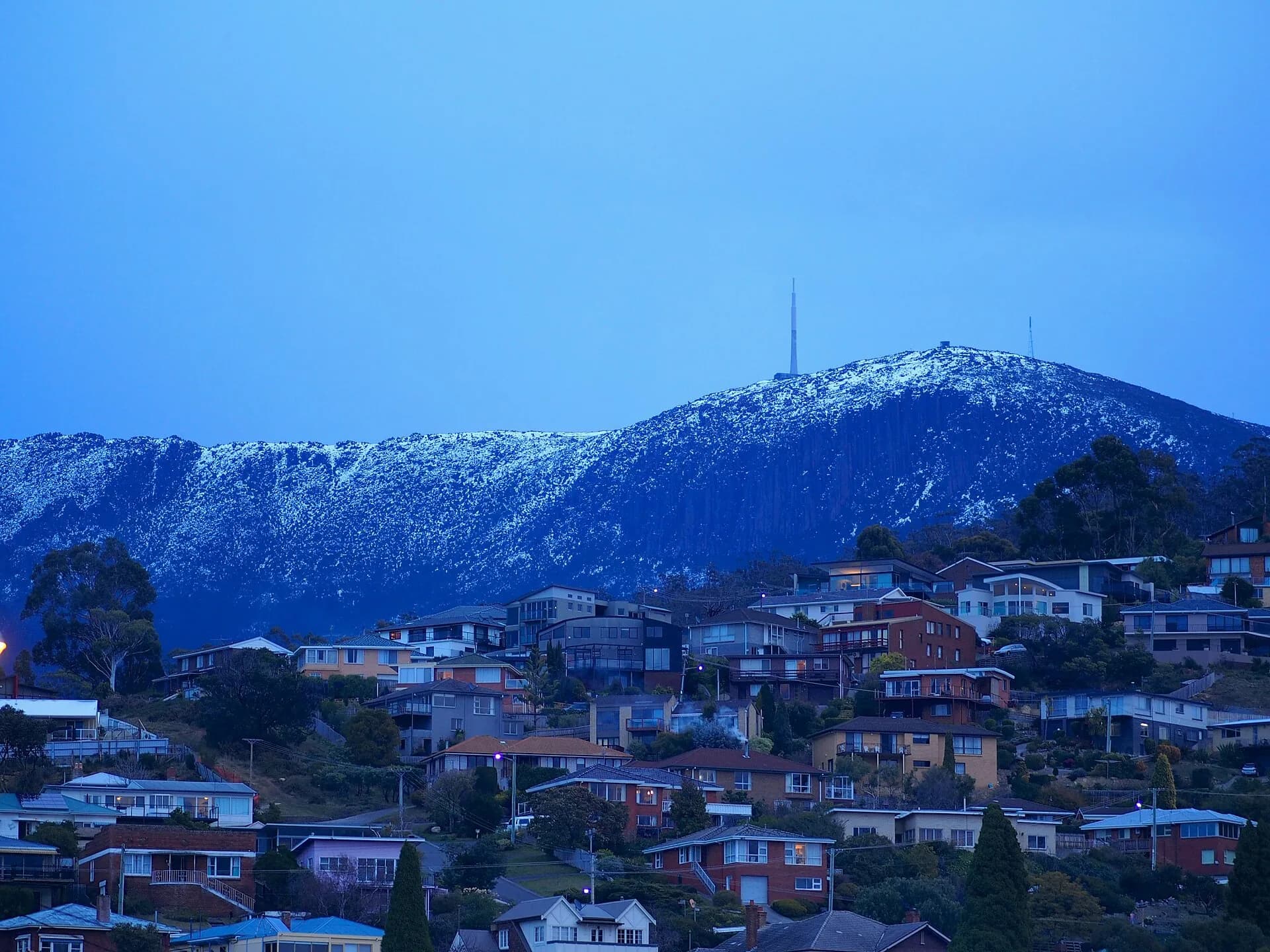
West Hobart climbs steeply from the central city towards Knocklofty and the lower slopes of kunanyi. Its weatherboard houses, local shops and bushland edges are spread across terrain that makes short map distances deceptive.
A suburb of slopes
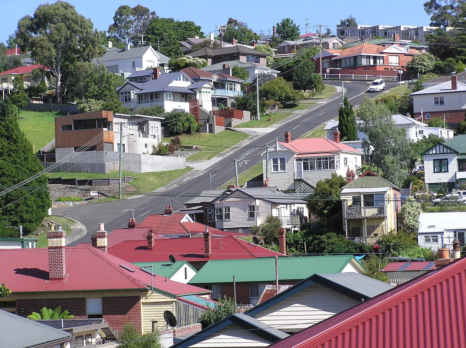
Mellifont, Lansdowne, Hill and adjoining streets climb across former farm and residential land. Views open between houses, but narrow roads and limited footpaths require care.

Shops and public spaces
Local commercial clusters serve residents rather than forming one tourism precinct. Parks and schools create useful public landmarks, while most heritage houses are private.
Knocklofty and foothill access
Bushland reserves above the suburb provide walking links and city views. Check council track maps, fire conditions and dog rules, and do not follow unmarked shortcuts through private property.

Walk or use buses from central Hobart if possible because parking is limited. Link West Hobart with the Hobart rivulets or parks and gardens rather than expecting landmark attractions.