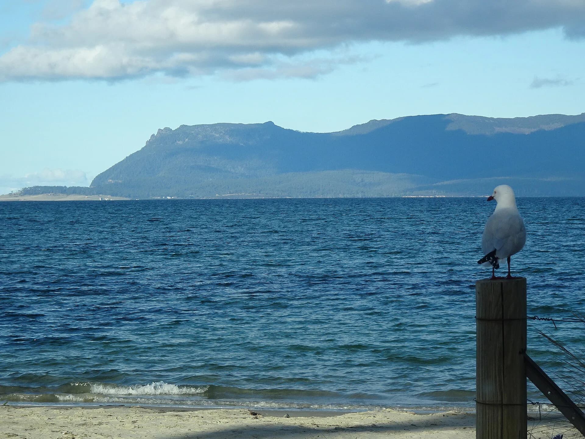

The direct route from Sorell to Orford follows the Tasman Highway through open farmland and the Prosser valley. Historical guides sometimes called variations through surrounding forest roads an “Orford Forest Drive”. For a current trip, keep to public sealed roads unless a land manager confirms another route is open and suitable.
Sorell to Buckland
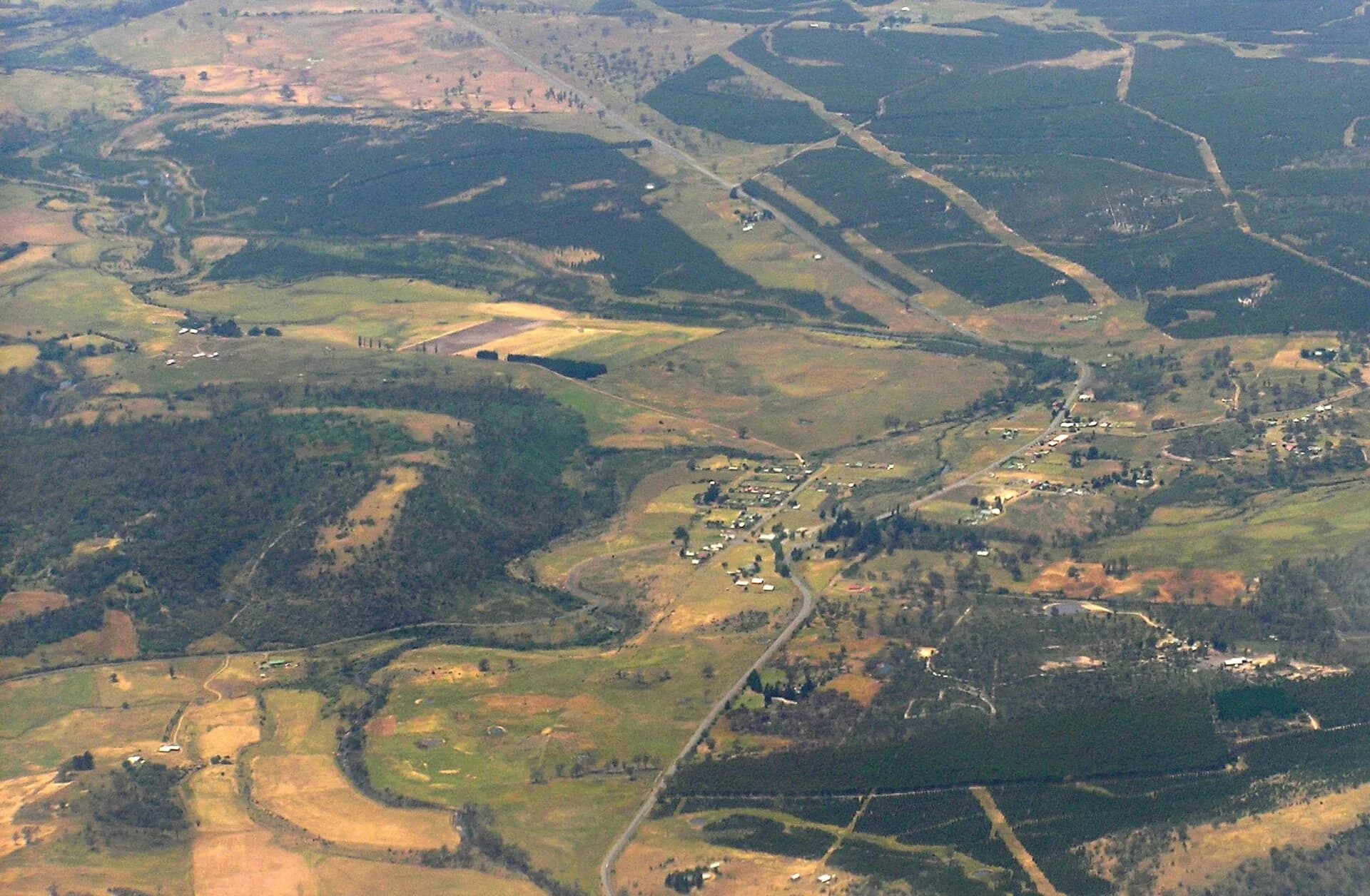
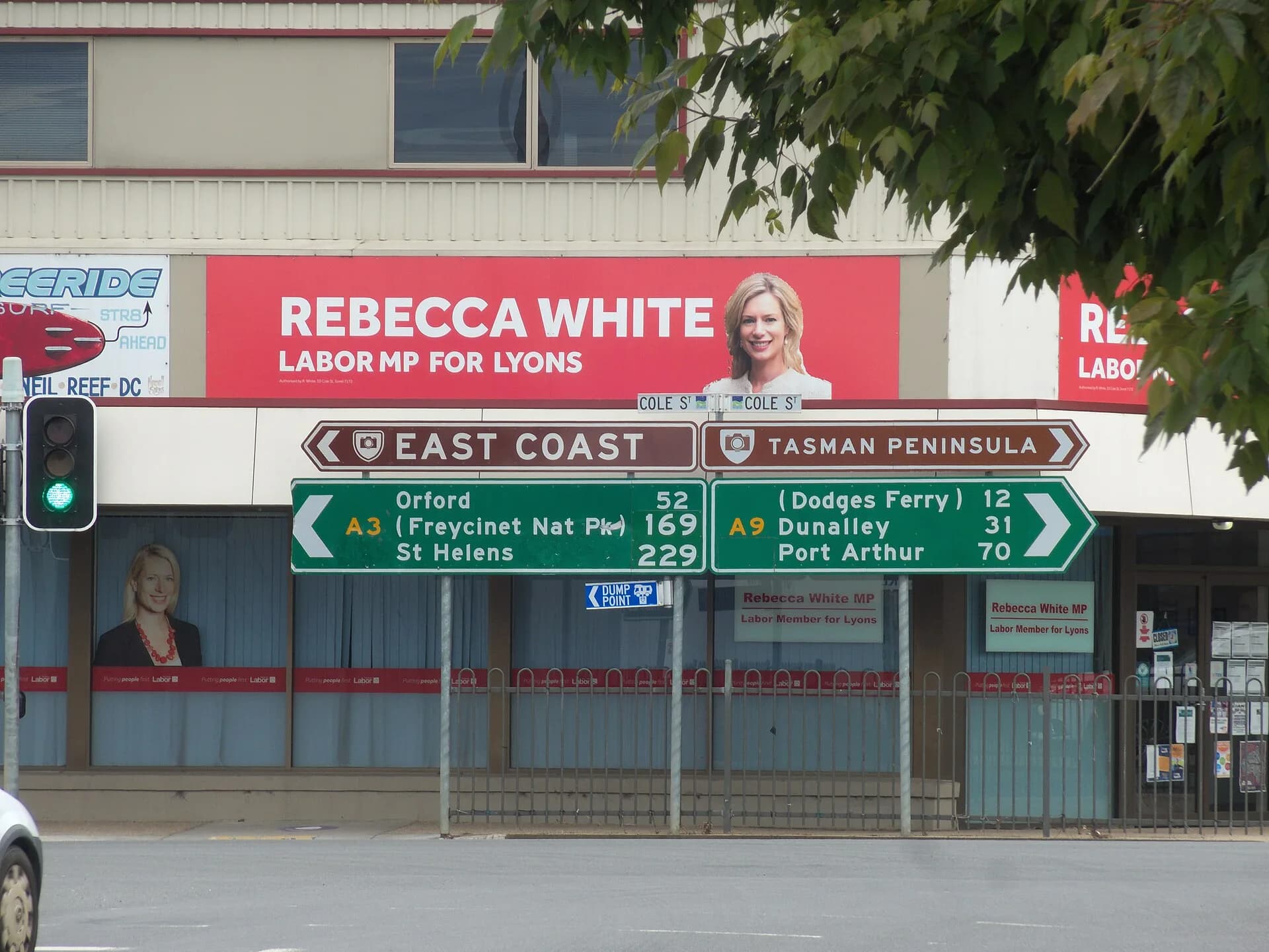
Sorell is the last major service centre before the southern East Coast. Fill the tank, buy supplies and check current roadworks before leaving. The highway then passes through undulating farming country to Buckland, a small historic village with public roadside stops and nineteenth-century buildings.

Optional stops need extra time
Copping and the Marion Bay district lie south of the highway and require a deliberate detour. These are rural roads used by residents and farm vehicles. Beaches, event sites and private properties have different access conditions, so do not assume every side road leads to public land.
Nugent Road provides a sealed connection between the Sorell district and Buckland area, but it is a local route rather than a faster alternative. Drive to conditions and allow for narrow sections, wildlife and changing weather.

Orford and the Prosser River
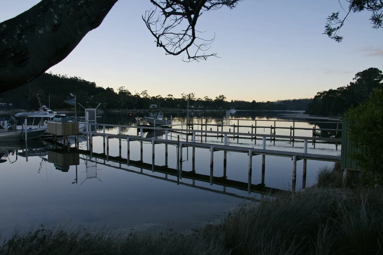
Orford sits at the mouth of the Prosser River opposite Maria Island. Public beaches and riverfront areas make it a useful break before continuing north, while Triabunna is the departure point for the Maria Island ferry.

This drive works best as a flexible connection rather than a race between destinations. Check Tasmania Police community alerts and the Department of State Growth roadworks map on the day. If Maria Island is the main purpose of the journey, confirm ferry and park arrangements before leaving Hobart.