.jpg)
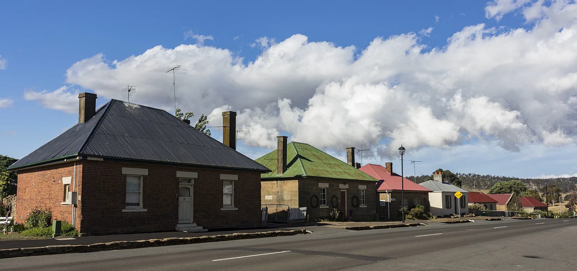
Jericho is a small rural locality between Kempton and Oatlands. It once held government and military functions on the road between Hobart Town and Launceston, but later transport and administrative decisions favoured larger centres.
A road station
The overland route was slow and difficult in the early nineteenth century. Jericho served travellers, government movement and the surrounding pastoral district. Southern Midlands Council records that stores, military functions and the gaol shifted to Oatlands late in 1827, leaving Jericho with a reduced role.
Pastoral country and convict labour
The district became part of the Midlands pastoral economy. Roads, farms and public works relied heavily on convict labour. That colonial expansion also dispossessed Aboriginal people and brought violent conflict across the Midlands.
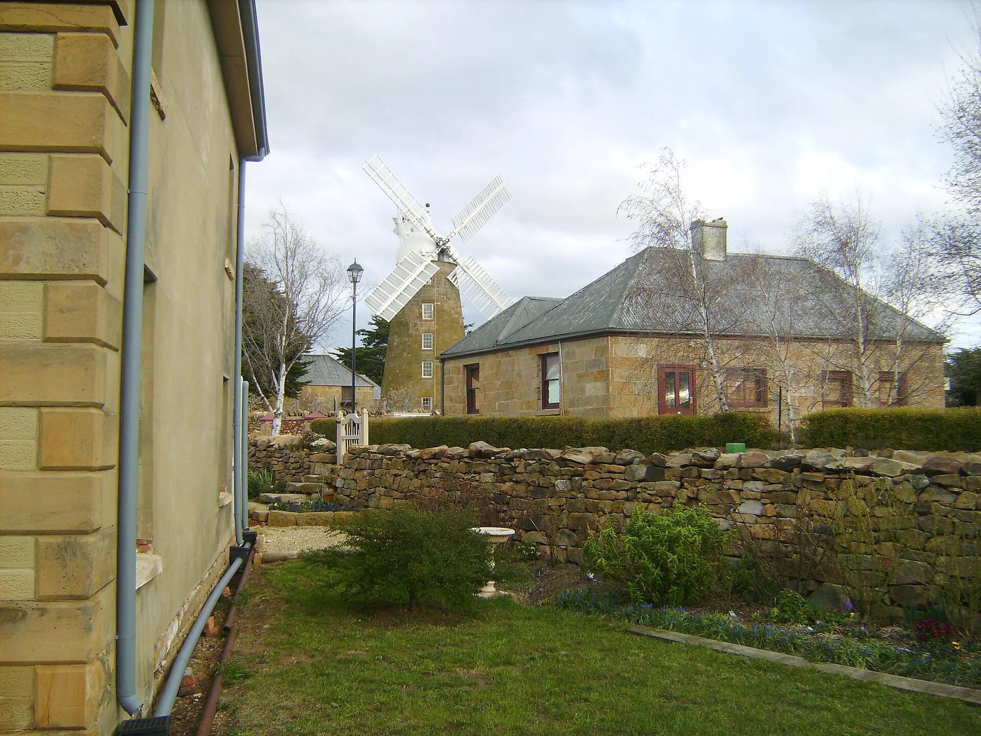
Surviving buildings and archaeological places are mixed with private farms. A heritage listing does not create public access.

Railway and highway changes
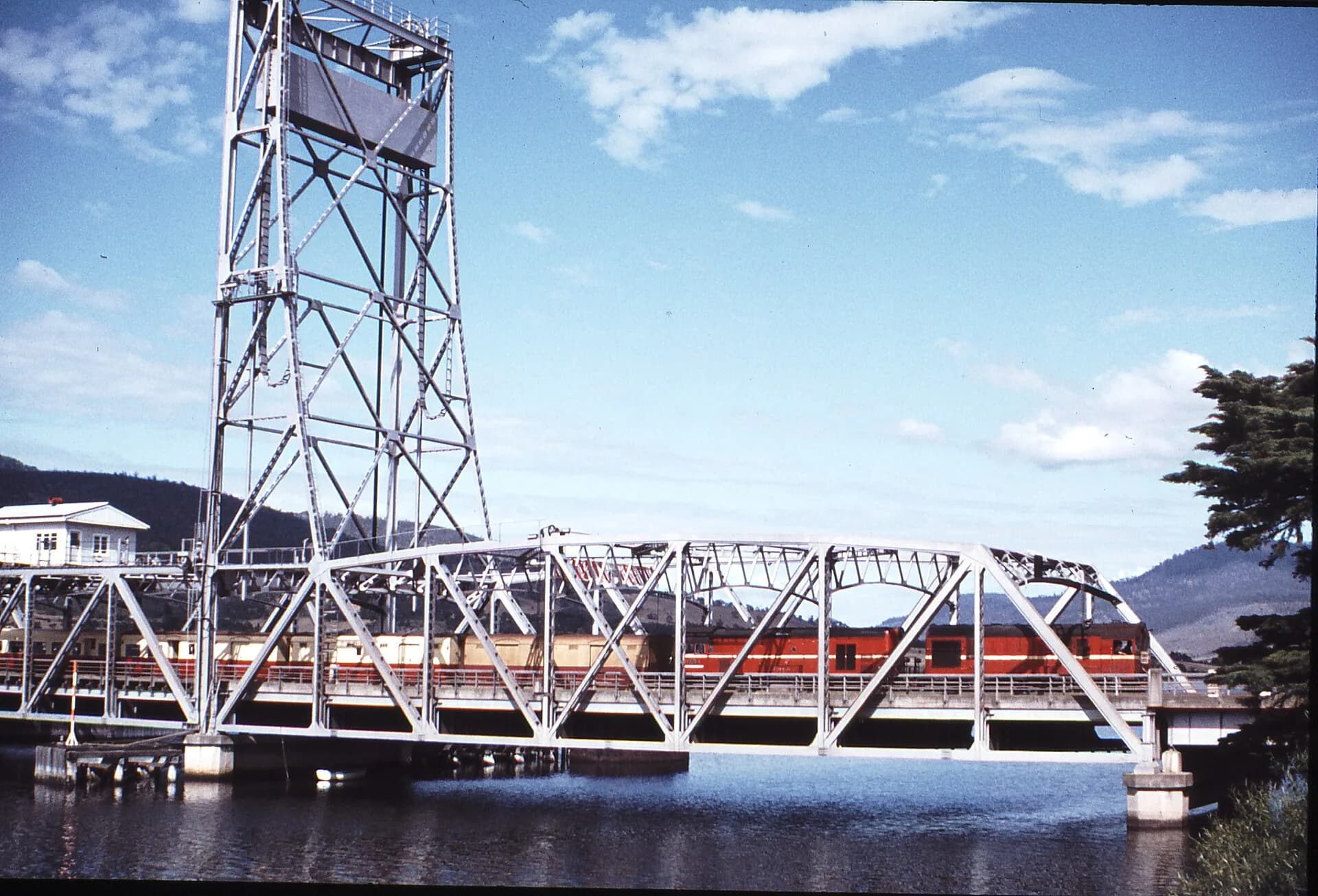
The main-line railway and later highway improvements changed how travellers moved through the district. Small road settlements lost trade as journeys became faster and service stops concentrated elsewhere.

Visiting responsibly
Jericho has no compact attraction precinct. Use public roads and signed stops, park fully clear of traffic and gates, and do not enter farm land or abandoned structures. Oatlands is the nearest substantial service centre.
The locality makes most sense within the Southern Midlands guide or Heritage Highway. Those routes provide verified public sites and interpretation while preserving Jericho’s role in the wider transport story.