
European sailors did not discover an empty island. Aboriginal people had lived across lutruwita / Tasmania for tens of thousands of years. The voyages below trace the growth of European maritime knowledge and colonial ambition, not the beginning of the island’s history.
1642: Abel Tasman
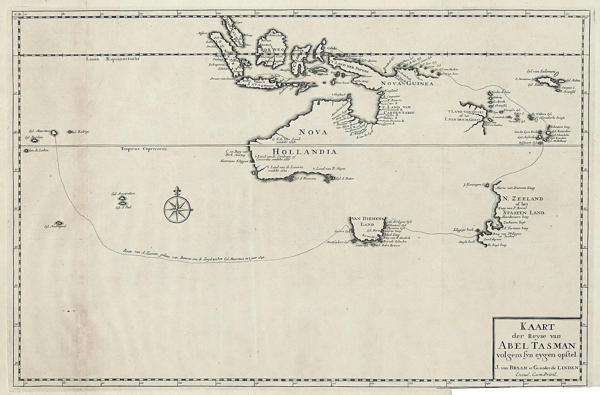
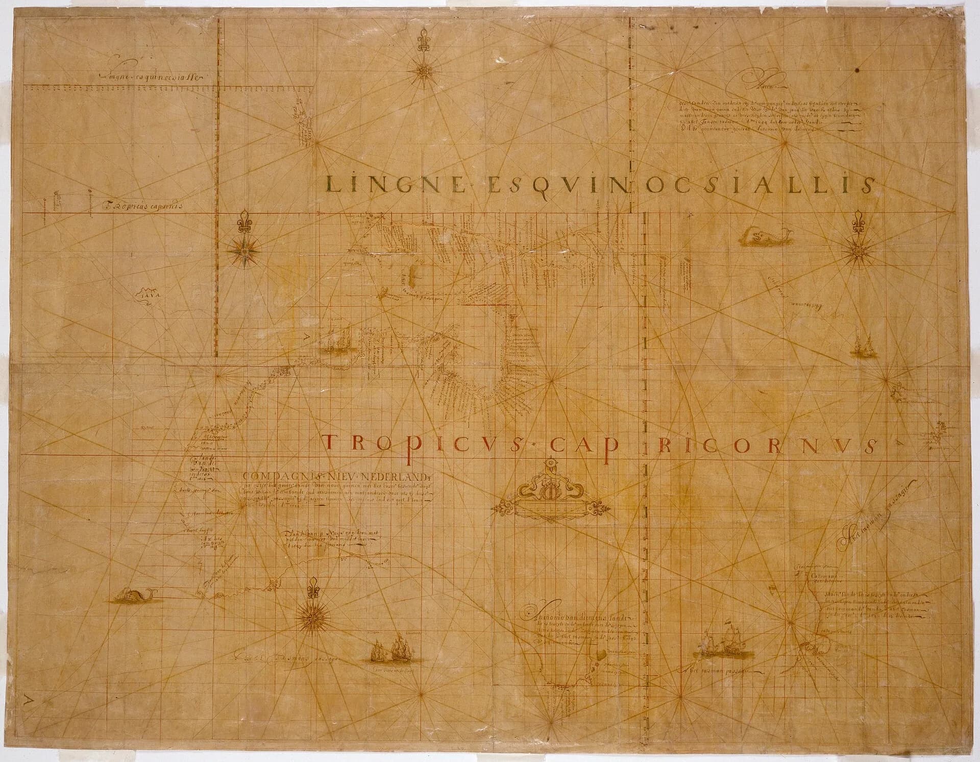
Abel Tasman sighted the west coast in November 1642 and anchored near the south-east. He named the island Van Diemen’s Land for the governor-general of the Dutch East India Company. His route map showed part of the coast but did not establish whether the land joined mainland Australia.

1772 to 1777: French and British visits
Marc-Joseph Marion du Fresne’s expedition entered south-eastern waters in 1772. An encounter with Aboriginal people at North Bay became violent, with shooting by the French party. Tobias Furneaux visited and named east-coast features in 1773. James Cook anchored at Adventure Bay in 1777, with William Bligh serving as master of Resolution.
These voyages collected observations, specimens, water and timber. Names added to charts asserted European knowledge while often ignoring existing Aboriginal names.
1788 to 1794: repeated southern anchorages
William Bligh returned to Adventure Bay with Bounty in 1788 and Providence in 1792. Bruni d’Entrecasteaux’s French expedition examined the south-east coast in 1792 and 1793, charting the channel and river that now carry his name.
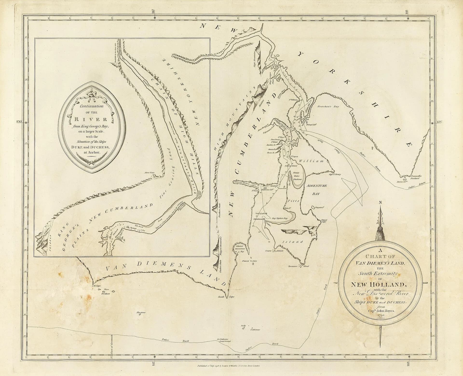
John Hayes entered and named the River Derwent in 1794. His chart contributed another layer of introduced names around southern Tasmania.
.jpg)
1798 to 1799: Bass and Flinders
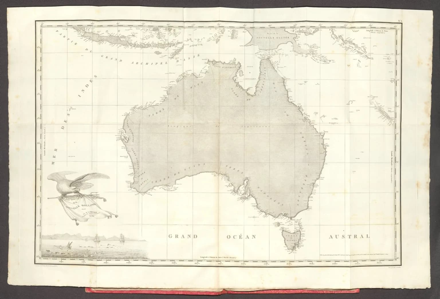
George Bass and Matthew Flinders circumnavigated Van Diemen’s Land in Norfolk. Their voyage confirmed that Bass Strait separated the island from mainland Australia. That result changed navigation and shortened the route to Port Jackson.
1802: Baudin and competing surveys
Nicolas Baudin’s French expedition surveyed parts of the coast in 1802. British officials watched French activity closely, and strategic anxiety contributed to later colonial occupation. European science, mapping and imperial competition were closely connected.
.jpg)
Using voyage sources
Logs, journals and charts are strongest when compared by date and location. Later maps may alter spellings or assign a name beyond its original feature. The coastal place-name guide explains how to verify those layers in the official register.
Voyage records also describe Aboriginal people through foreign assumptions. Read them critically and alongside Aboriginal scholarship, cultural mapping and community-led interpretation.