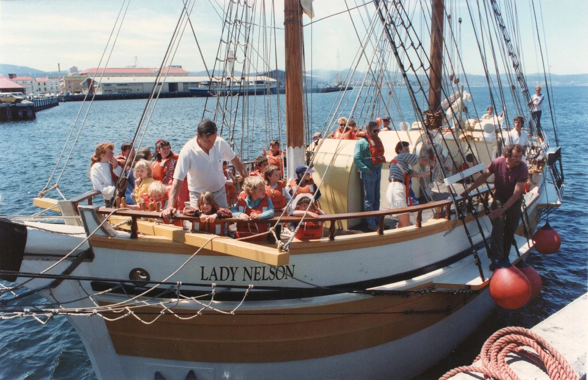

John Murray commanded the colonial brig Lady Nelson during a sequence of surveys in Bass Strait in 1801 and 1802. His work connected charts of the Kent Group, King Island and Port Phillip, but it occurred within a British imperial push into seas long known and used by Aboriginal people.
An acting command, not a settled naval career
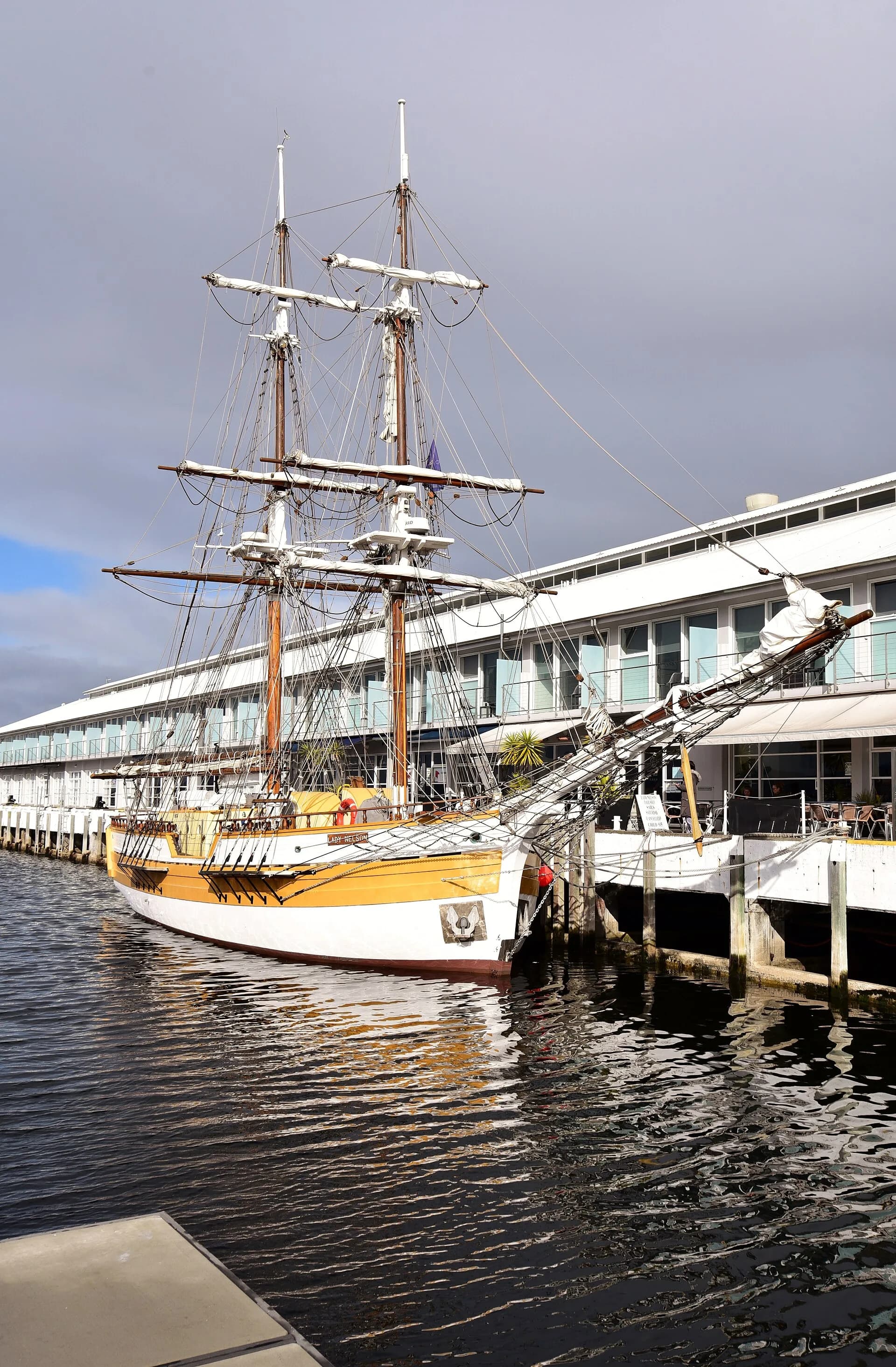
Murray reached New South Wales in 1800 aboard HMS Porpoise. Governor Philip Gidley King transferred him to Lady Nelson and appointed him acting lieutenant and commander after James Grant resigned. The unusual vessel used sliding keels that could be raised in shallow water.
.jpg)
The Bass Strait voyage changed the chart
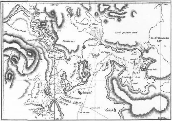
Leaving Sydney in November 1801, Murray reached the Furneaux Islands after initially missing the Kent Group. He later passed through the channel now called Murray Pass, surveyed parts of Western Port and charted the east coast of King Island. He sighted Port Phillip in January 1802 and entered it the following month after a boat party examined the entrance.
.png)
Place names record a British viewpoint
Murray applied names including Arthur’s Seat and Swan Island around Port Phillip. Such names became embedded in colonial charts, but they did not begin the history of those places. Bunurong, Boonwurrung, Palawa and other Aboriginal communities held knowledge and relationships across the region long before British surveying.
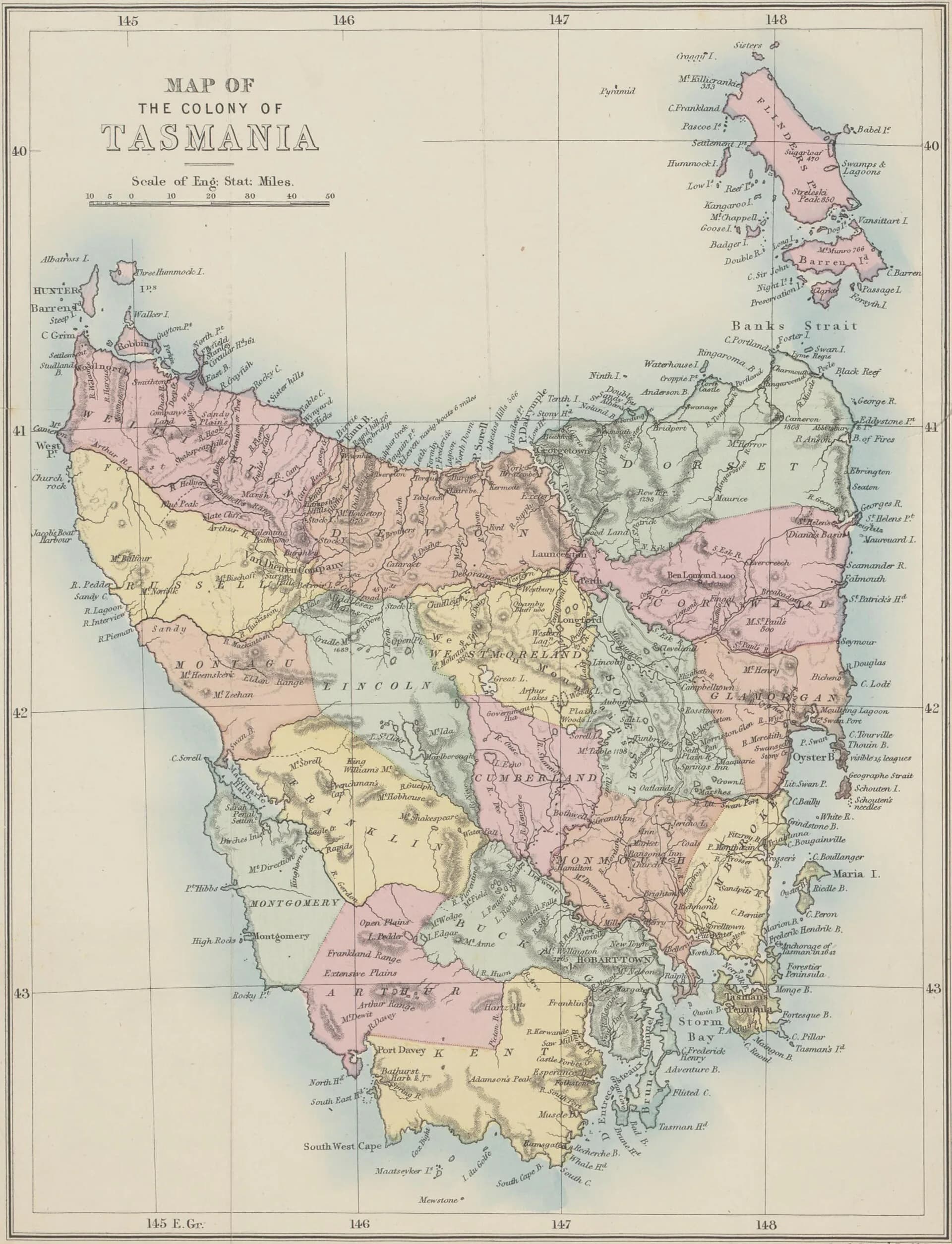

The Admiralty later refused to confirm Murray’s commission because statements about his earlier naval service were found to be false. That ending does not erase the charts, but it complicates heroic retellings. Continue with King Island expedition, Tobias Furneaux and the names of northern and eastern Tasmania.