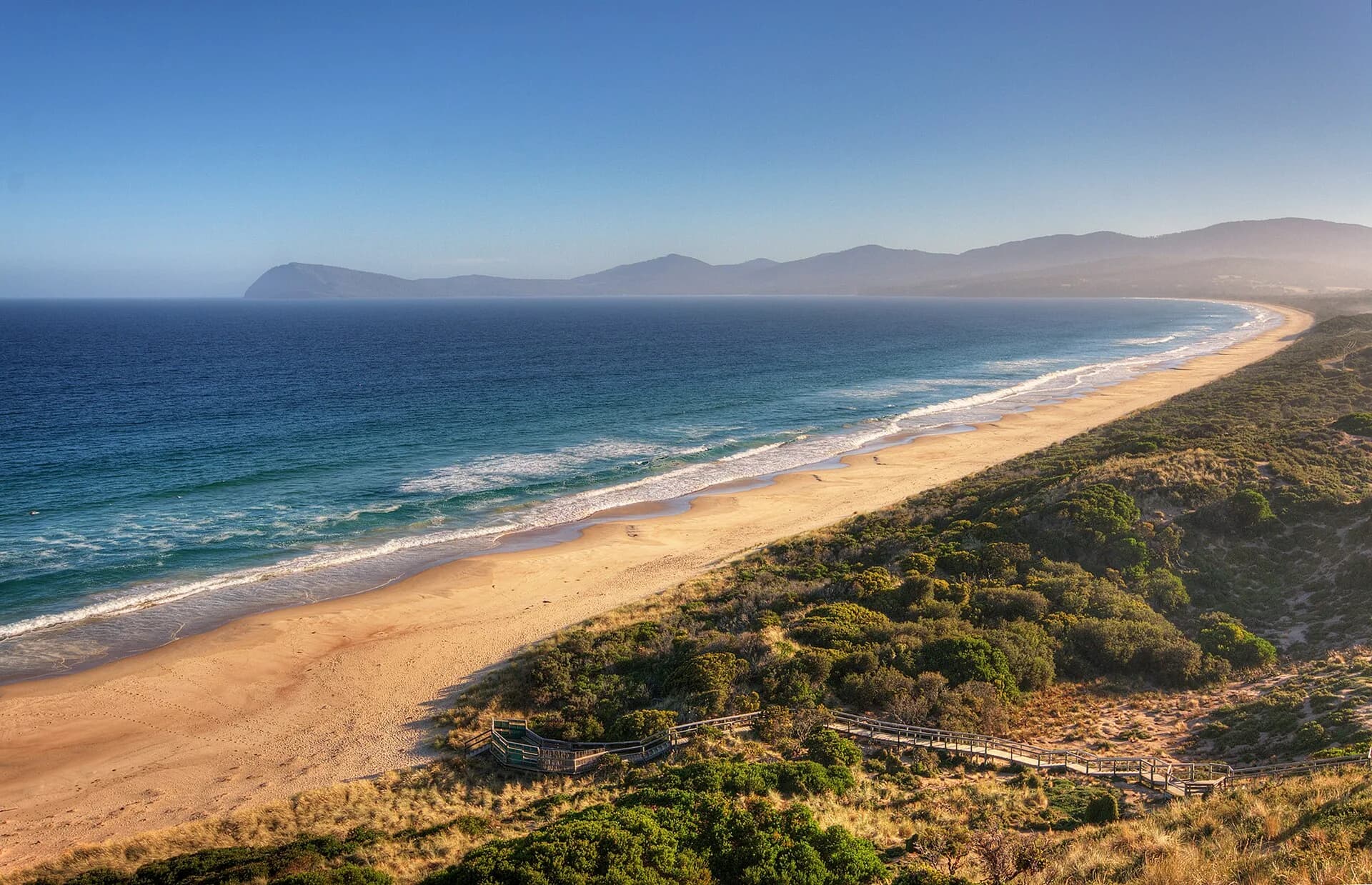

Tobias Furneaux commanded HMS Adventure during James Cook’s second Pacific voyage. After the two expedition ships separated in fog, Adventure reached Van Diemen’s Land in March 1773 before continuing to their New Zealand rendezvous.
Adventure Bay provided water and timber
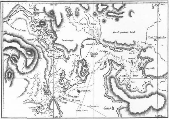
Furneaux sighted South West Cape on 9 March and anchored off Bruny Island from 11 March. The crew collected water and timber at the bay he named Adventure Bay. This was Palawa Country, already known through deep cultural knowledge rather than awaiting European discovery.


His chart added names but missed the strait
Sailing north, Furneaux applied or recorded several English names along the east coast, including the Friars, Fluted Cape, St Patrick’s Head and Bay of Fires. He saw islands near what is now Banks Strait but concluded there was no passage between Van Diemen’s Land and mainland Australia.
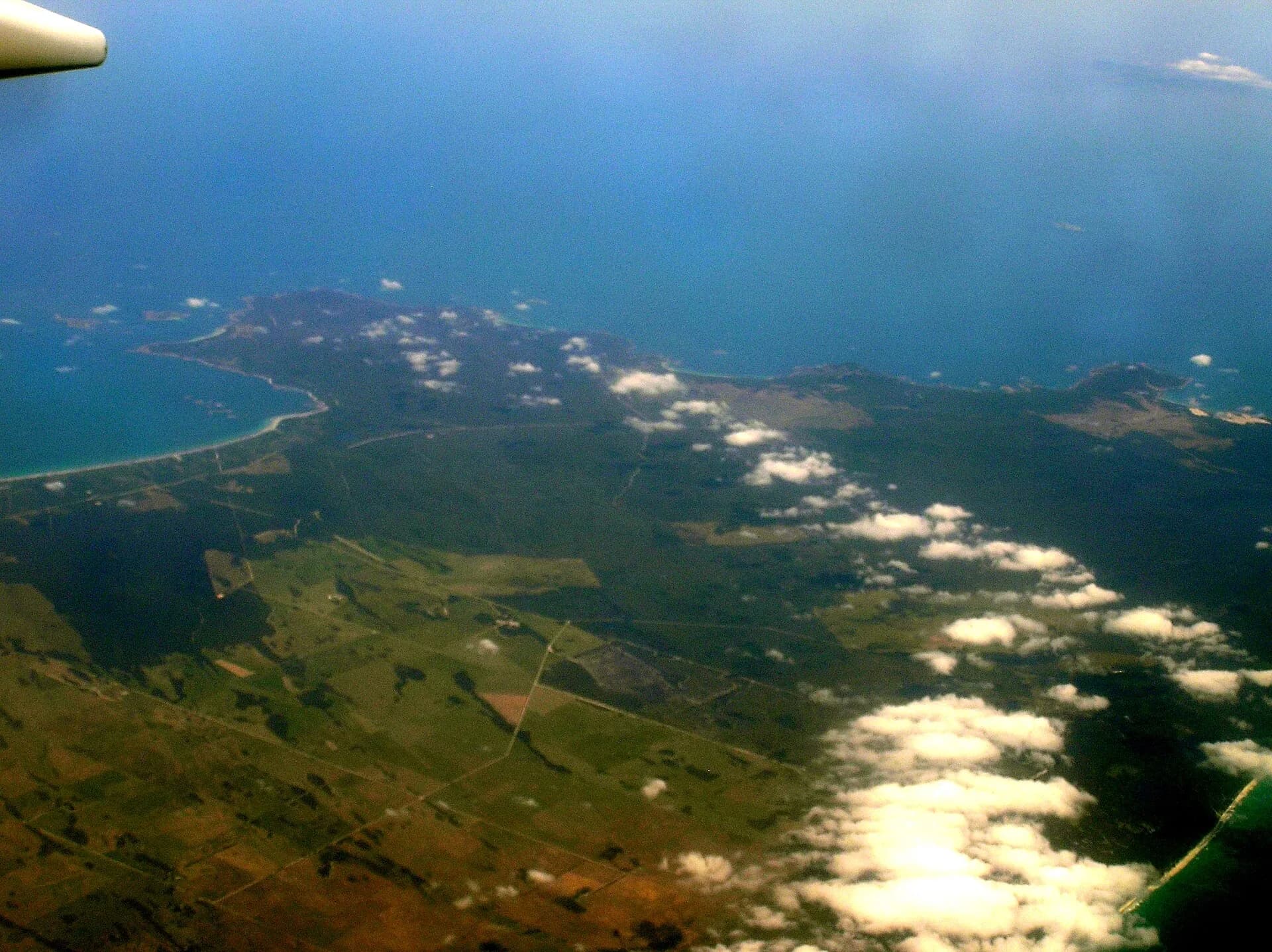

Matthew Flinders and George Bass demonstrated the strait in 1798. Cook later named the Furneaux Group for the Adventure’s captain, even though Furneaux’s conclusion about the geography was wrong.
Read voyages as encounters
European journals document navigation, supplies and names from a shipboard perspective. They do not replace Aboriginal knowledge or explain what coastal communities experienced when foreign vessels arrived.
.png)
Continue with James Cook’s Tasmanian connections, Matthew Flinders and Abel Tasman.