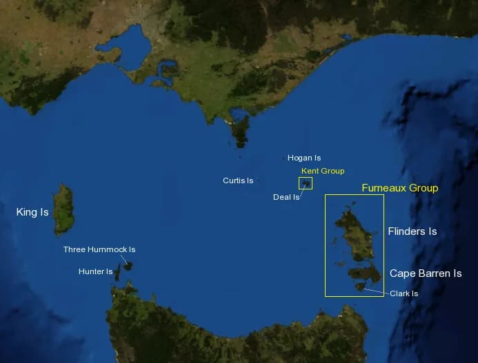

Bass Strait contains hundreds of islands, but visitor travel concentrates on two distinct groups: King Island in the west and the Furneaux Group in the east, where Flinders Island is the main service centre. They are not stepping stones on one simple route.
King Island
King Island lies off Tasmania’s north-west. Scheduled passenger travel is by air, with services changing by season and airline. There is no island-wide public bus network, so vehicle hire or a pre-arranged tour needs to be organised before arrival.
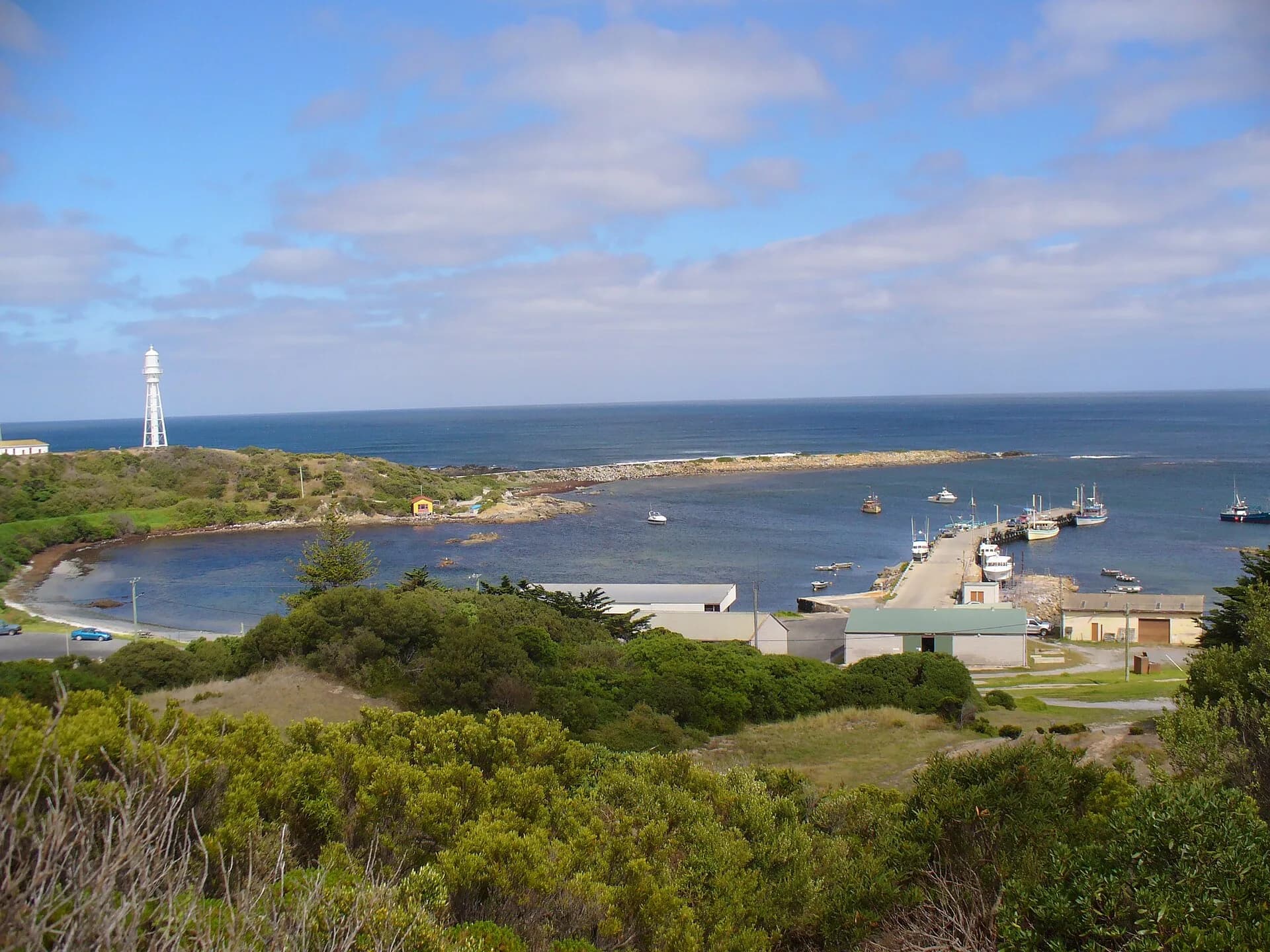

Currie is the principal town. Distances are manageable, but coastal weather, gravel roads and limited evening services make advance planning important. Follow King Island biosecurity advice before carrying food, plants, fishing equipment or outdoor gear.
Flinders Island and the Furneaux Group
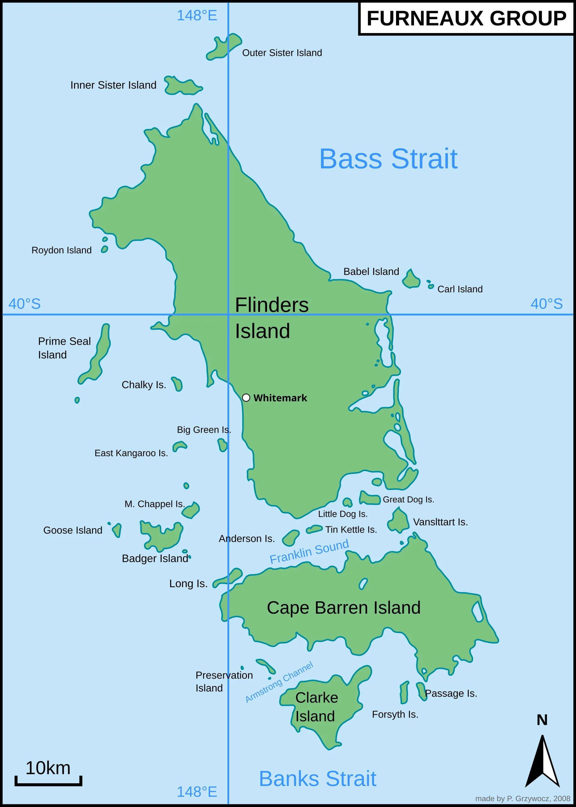
Flinders Island is reached most commonly by air. Whitemark is the main service town and Lady Barron has the principal port. Flinders Council advises that business hours are limited, phone coverage differs from mainland Tasmania and supplies should be carried before travelling north of Whitemark.


The wider Furneaux Group includes Aboriginal cultural places, conservation islands, working communities and sites with restricted or no public access. A view on a map does not imply a landing right.
Weather and island responsibility
Bass Strait weather can disrupt flights and sea transport. Keep flexibility around connections and avoid booking an inflexible mainland departure immediately after an island leg.

Clean footwear, vehicles, boats and outdoor equipment. Stay on public roads and marked tracks, observe fire restrictions and ask before photographing people, private property or cultural activity.