.jpg)
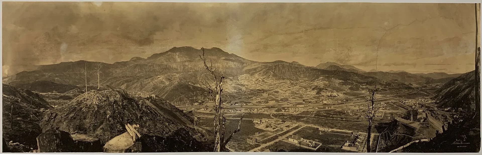
Queenstown sits in a steep west-coast valley shaped by copper mining, smelting, rail transport and heavy rain. Revegetating slopes and polluted waterways show both the scale of industrial damage and the long work of recovery.
Walk the town before driving on
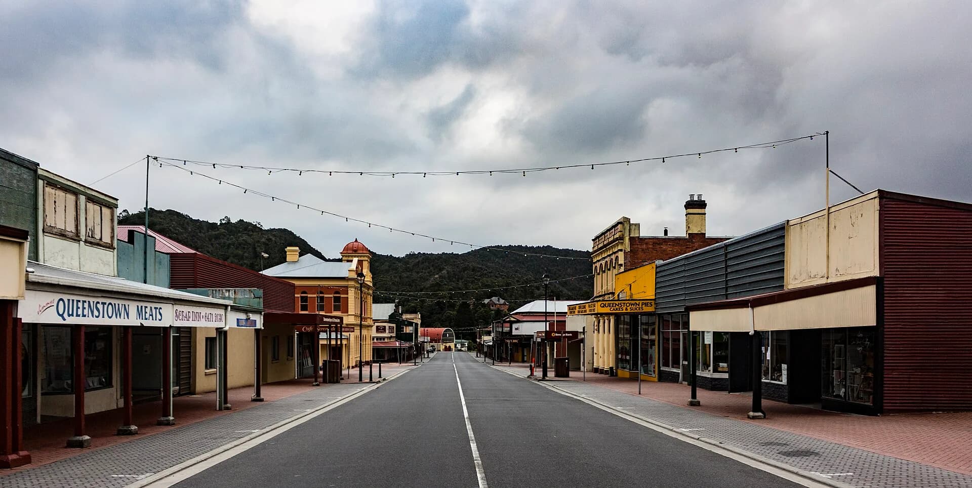
Orr Street and the surrounding blocks hold shops, hotels, civic buildings and the Galley Museum. Opening hours can be limited, so use the town as a deliberate stop rather than a brief fuel break.

The bare hills have a history
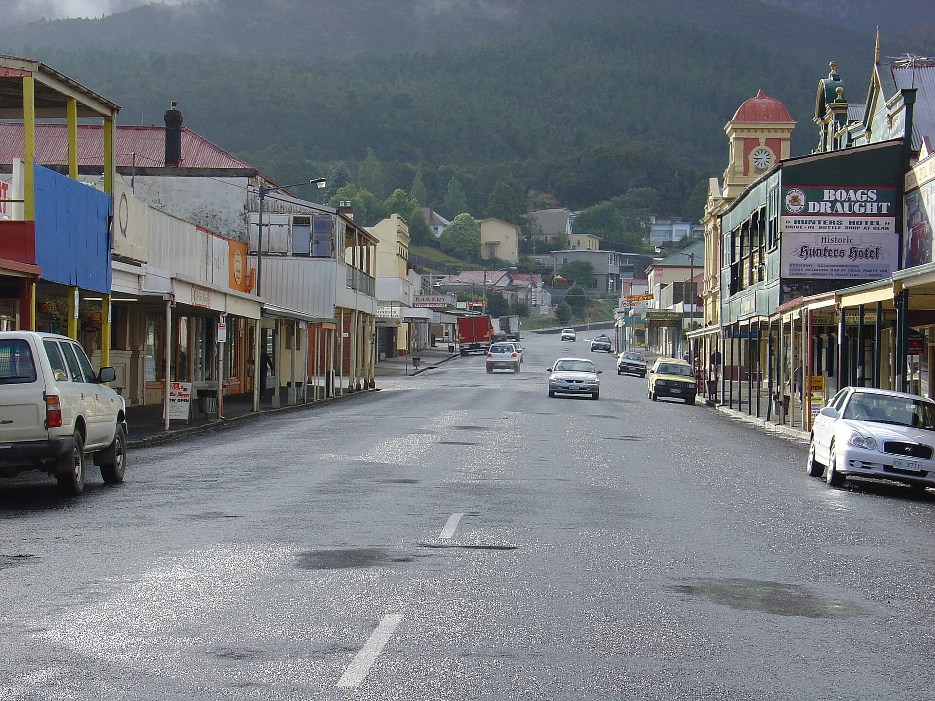
Mining emissions, tree cutting and fire contributed to severe vegetation loss around the town. Describing the landscape only as a natural “moonscape” hides this industrial cause. Regrowth now varies across slopes and mine areas remain working or restricted land.

Roads demand time
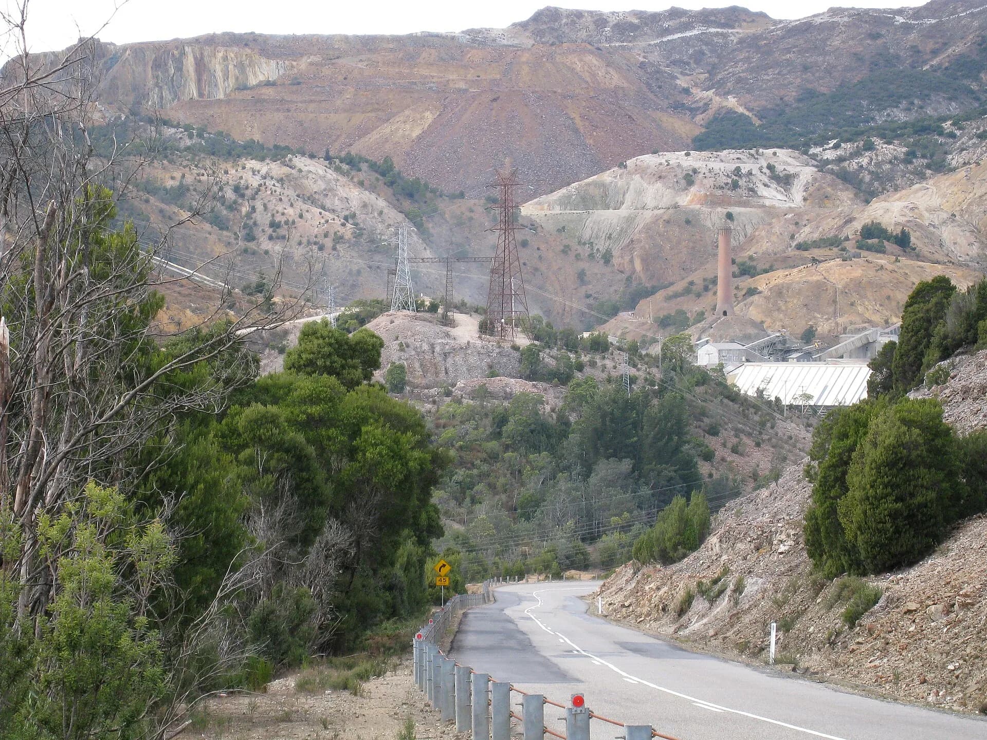
The Lyell Highway descends through many bends, with rain, fog, ice, rockfall and slow vehicles possible. Stop only at formed lookouts and never walk onto an active mine or road shoulder for a photograph.

The West Coast regional guide helps sequence the journey. Continue to Strahan or Trial Harbour as separate trips with their own conditions and service checks.