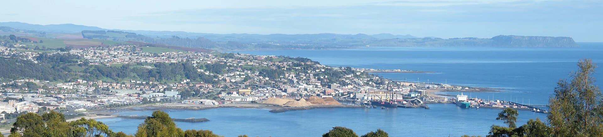

Old Surrey Road recalls the route surveyed and cut inland from Emu Bay towards the Van Diemen’s Land Company’s Surrey Hills holdings. Modern roads, forestry tracks and private land no longer form one simple heritage drive.
A route through difficult country
Company surveyor Henry Hellyer explored the steep, wet hinterland in the late 1820s. The road supported movement between the coast and inland pastoral land, crossing forests and river valleys that challenged transport.
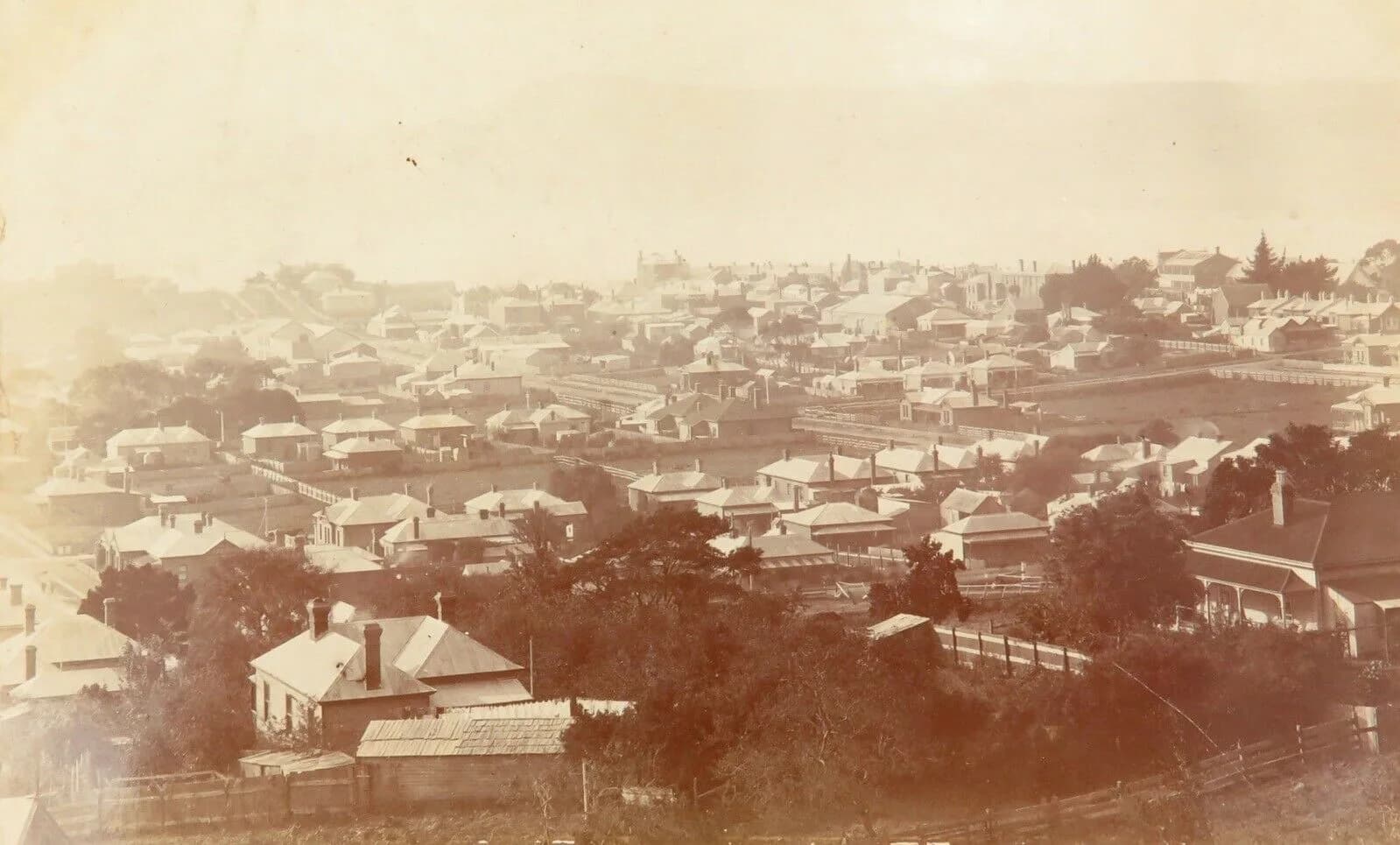

Alignments changed
Later roads, railways, dams and forestry altered or bypassed sections. A historic name on a map does not prove public vehicle access. Check current land tenure, gates and road-manager information.
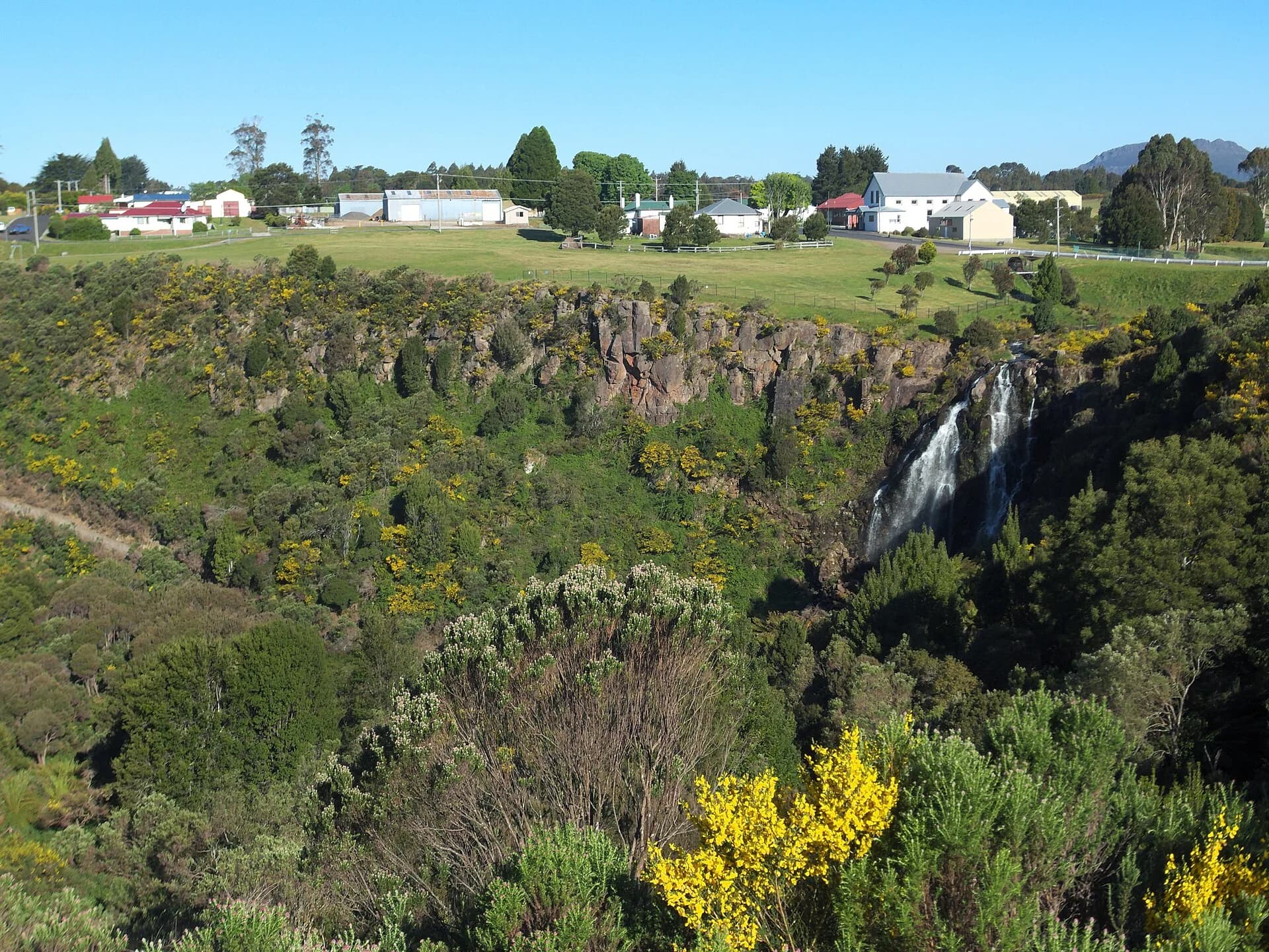

Use public interpretation
Burnie’s heritage studies, Libraries Tasmania maps and managed reserves provide safer evidence than following an unverified track. Logging vehicles may use inland roads, so keep left and use headlights where advised.
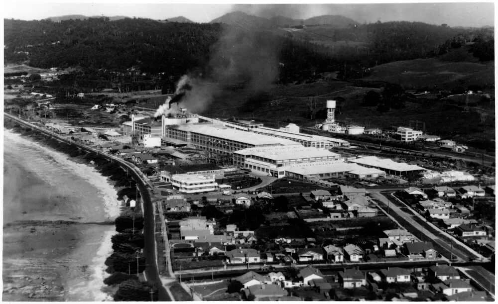
_%E2%80%93_Winter%27s_Snappy_Service.jpg)
The Burnie history guide explains the coastal base. Waratah provides a managed introduction to inland mining and road history.