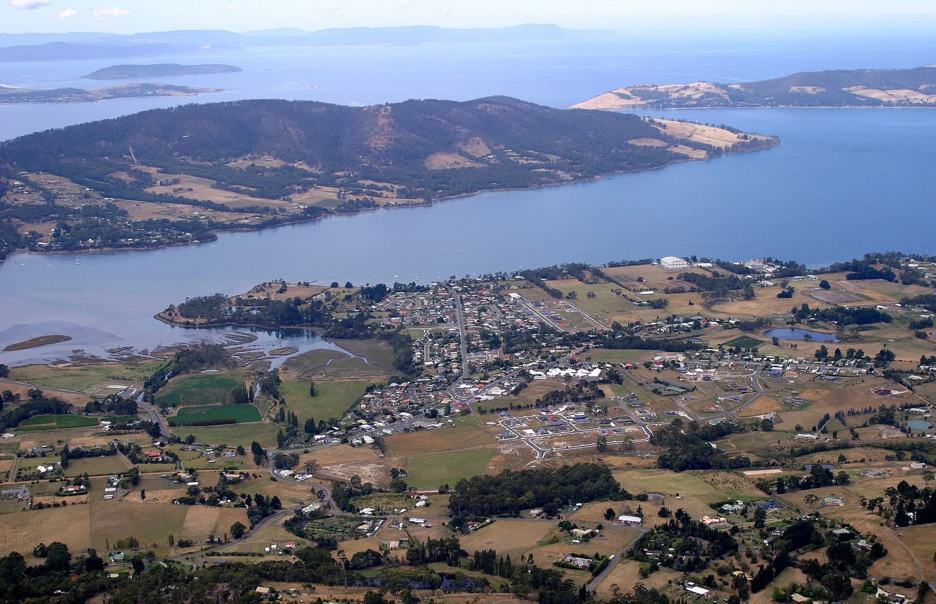

Margate lies on the Channel Highway between Kingston and Kettering. The town serves a growing residential district, but its older landscape was shaped by timber, small farms, orchards, dairying and coastal trade. It is a useful stop for understanding the Channel district rather than a single major attraction.
From rural district to commuter town
Kingborough Council records that settlements including Margate operated small fishing fleets and timber mills. Cleared land supported fruit, berries, dairy cattle and meat production. The export apple industry became especially important across southern Tasmania before market decline and the 1967 bushfires damaged many orchards.
The completion of the Southern Outlet in 1969 brought Kingborough within easier commuting distance of Hobart. Margate subsequently grew as housing spread along and beyond the older highway settlement. Pockets of farmland, mature shelterbelts and older buildings still show the rural pattern beneath that growth.

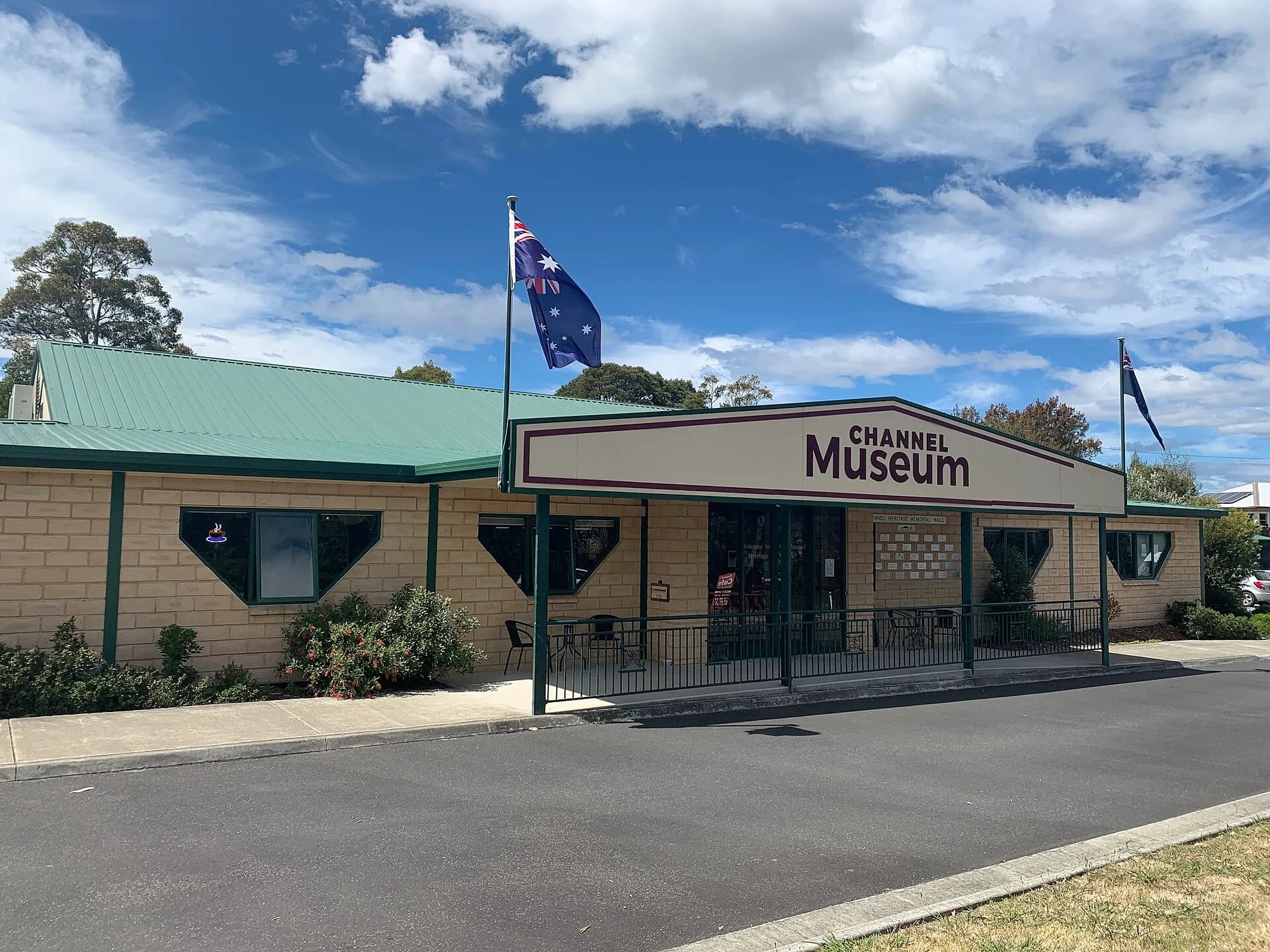
Channel Museum
The Channel Museum is the strongest place to investigate district history. Its collections cover local families, work, transport, community life and the industries that connected the settlements around the D’Entrecasteaux Channel. Check current opening hours directly before planning a visit.
A local museum is especially useful for subjects that broad state histories can miss. Photographs, tools, business records and oral histories show how people moved between farms, mills, jetties, schools and halls. They also reveal how a district changed when roads replaced much coastal transport.

Using Margate as a base
The town sits at a road junction for the Channel, Snug, Kettering and Bruny Island ferry, while routes west connect towards Sandfly and the Huon Valley. Nearby reserves and short walks provide a quieter counterpoint to the highway strip. Facilities are more extensive than in smaller Channel villages, though they are spread along the main road.
Kettering is the next key transport point south. Travellers heading to the ferry should allow for queues that can affect traffic through the district. Those continuing without a crossing can explore Woodbridge and coastal viewpoints farther along the Channel Highway.
Reading the town carefully
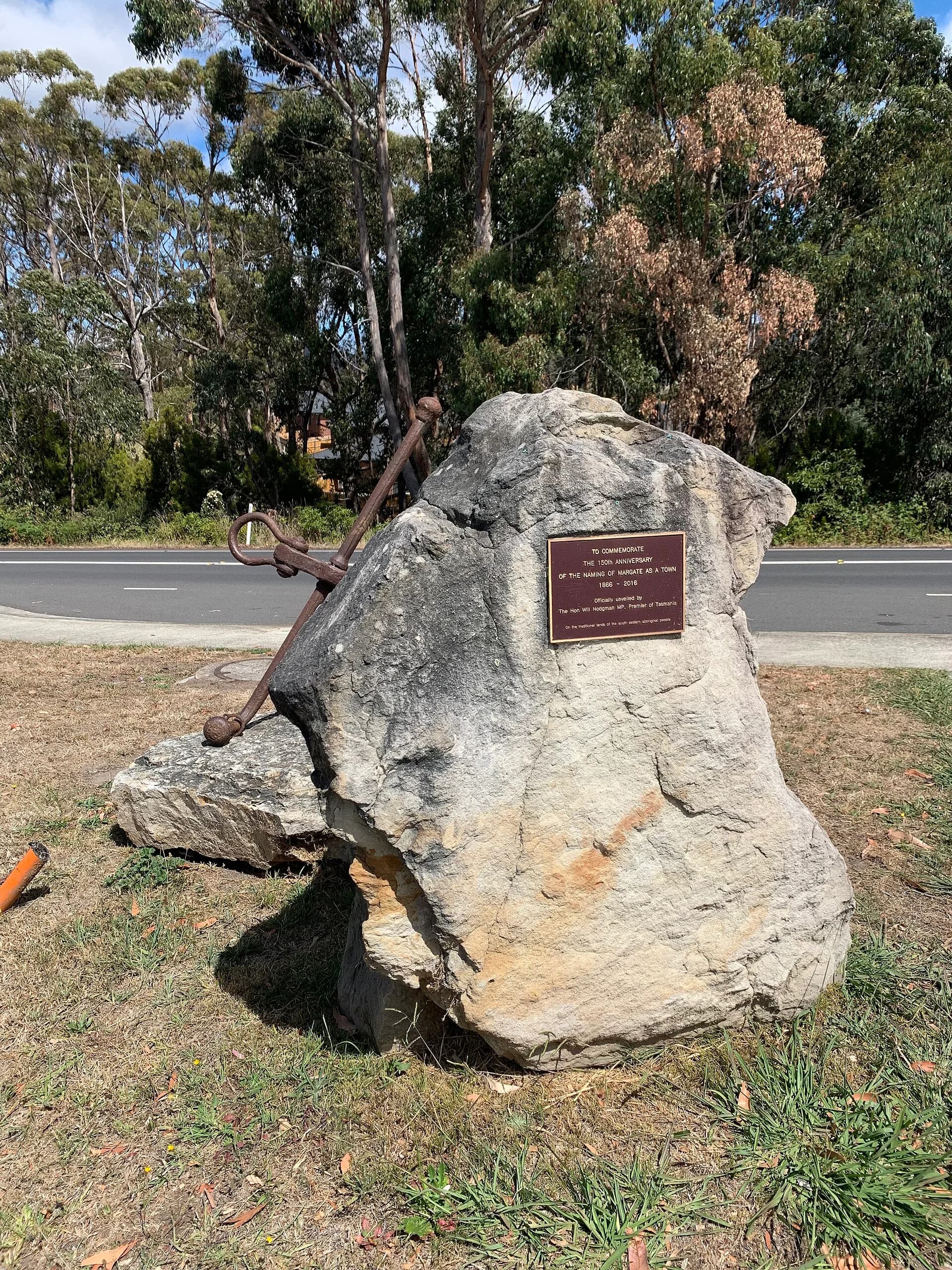
Margate’s story is not captured by one preserved streetscape. Look instead for relationships between road alignment, former farm land, water access and community institutions. The commemorative stone near the centre is one public marker, but museum collections and council histories provide a broader account.
The Channel district remains lived and worked in. Orchards, marine activity and small holdings sit beside newer housing. That mix, rather than a frozen heritage image, explains modern Margate.