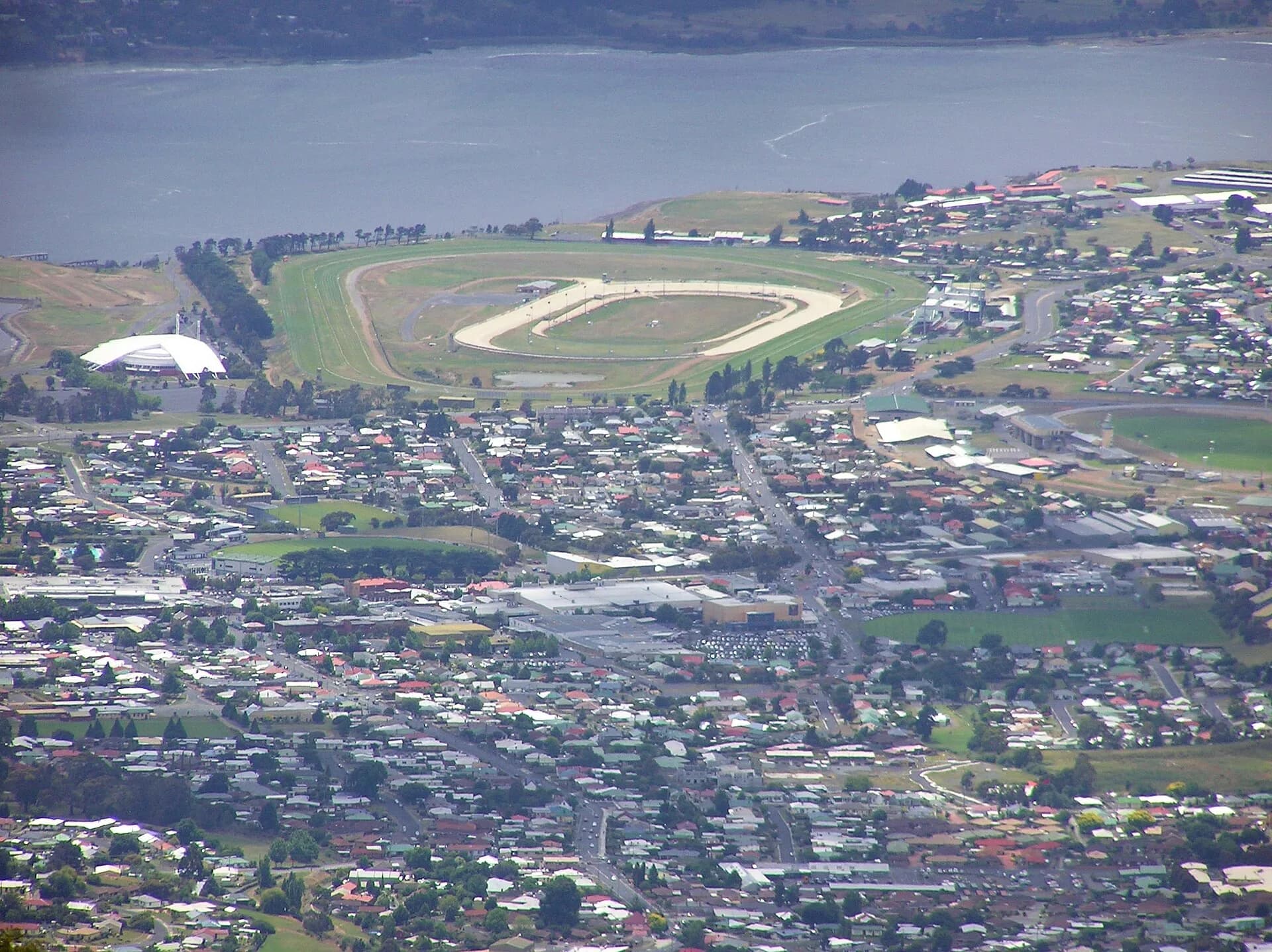

Glenorchy is a major urban centre about seven kilometres north of central Hobart. Its story includes Muwinina Country, farms and mills, industrial work, postwar migration and one of Tasmania’s most culturally diverse modern communities.
A city shaped by work and movement
Glenorchy City Council places the area on the western shore of timtimili minanya / River Derwent, below the foothills of kunanyi / Mount Wellington. The municipality grew around Main Road, rail, factories and large employers, then expanded through suburban housing and migration.
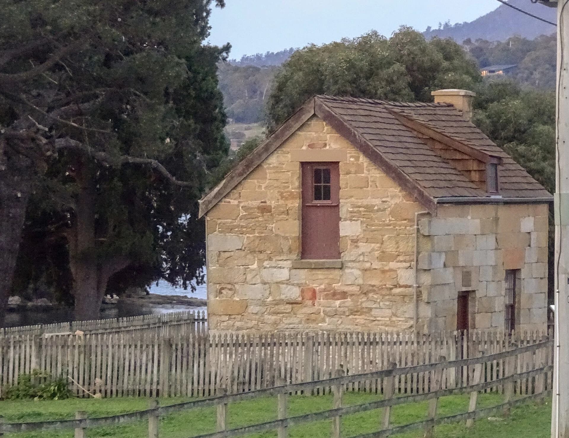
The heritage is dispersed rather than confined to one colonial precinct. St Matthew’s church, old commercial buildings, industrial places and workers’ housing each record a different part of the city’s growth.

Walk or ride the foreshore
The Intercity Cycleway links Glenorchy with Hobart, while GASP! follows Elwick Bay through parkland, wetlands and public art. The Windermere to Berriedale route continues through saltmarsh, bays and she-oak bushland.
Use current council maps for path closures and facilities. Shared routes carry commuters, families and riders, so keep left and pass predictably.

Planning the visit
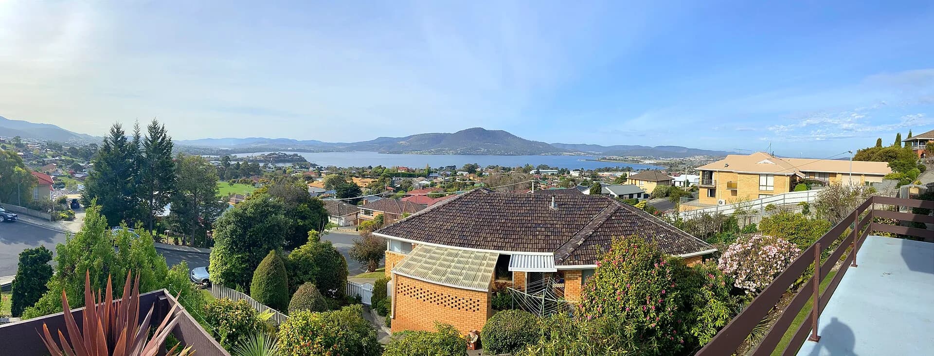
Main Road is the public-transport spine, with frequent buses to Hobart and northern suburbs. The commercial centre is practical for everyday services, while major attractions and reserves are spread across the wider municipality.
The Austins Ferry page covers Poimena Reserve and early ferry history. For central-city history, continue to Hobart’s defining moments.