

The name “West Coast Track” can give the wrong impression. There is no maintained, signposted trail joining Port Davey and Macquarie Harbour. The historical route describes an expedition along roughly 165 kilometres of exposed, trackless coast through some of Tasmania’s most isolated country.
This is not the Overland Track or South Coast Track
The Overland Track is a managed multi-day route with registration, huts and a defined track. The South Coast Track is demanding and remote, but it is also an established route. A full west coast traverse is a different undertaking, involving route-finding, difficult river crossings, scrub, beaches, cliffs and long periods without a simple exit.
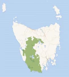

Port Davey sets the scale of the isolation
Port Davey and Bathurst Harbour are accessible only by boat, light aircraft or on foot. Parks and Wildlife Service guidance describes extreme and unpredictable weather, more than two metres of annual rain in the area and no services or facilities. Macquarie Harbour is the next major sheltered waterbody far to the north.
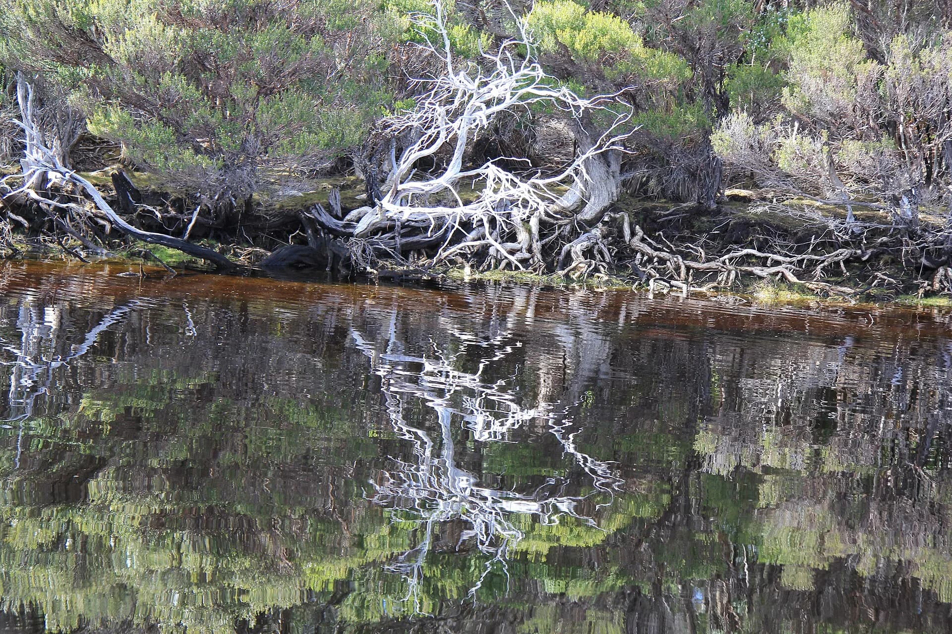

A route line is not permission or a safety plan
Land tenure, cultural sites, river levels, aircraft arrangements and emergency communications all require current checks. A historical description cannot tell a party whether a crossing is safe today. Parks Tasmania asks walkers in remote areas to be self-sufficient, clean equipment to prevent root-rot spread and carry suitable emergency communication.
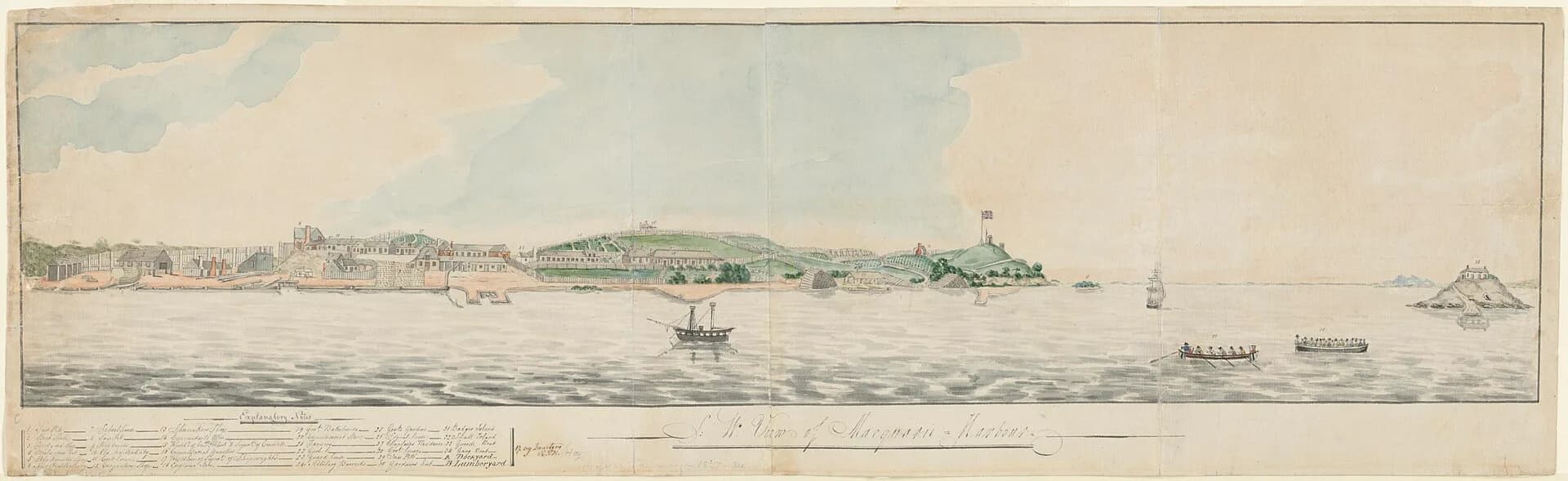

Our Tasmania does not publish turn-by-turn directions for this traverse. Anyone considering it needs advanced off-track experience, a conservative weather plan, current topographic mapping, verified access arrangements and direct advice from Parks Tasmania. For accessible west-coast planning, begin with Strahan, Corinna or the West Coast guide.