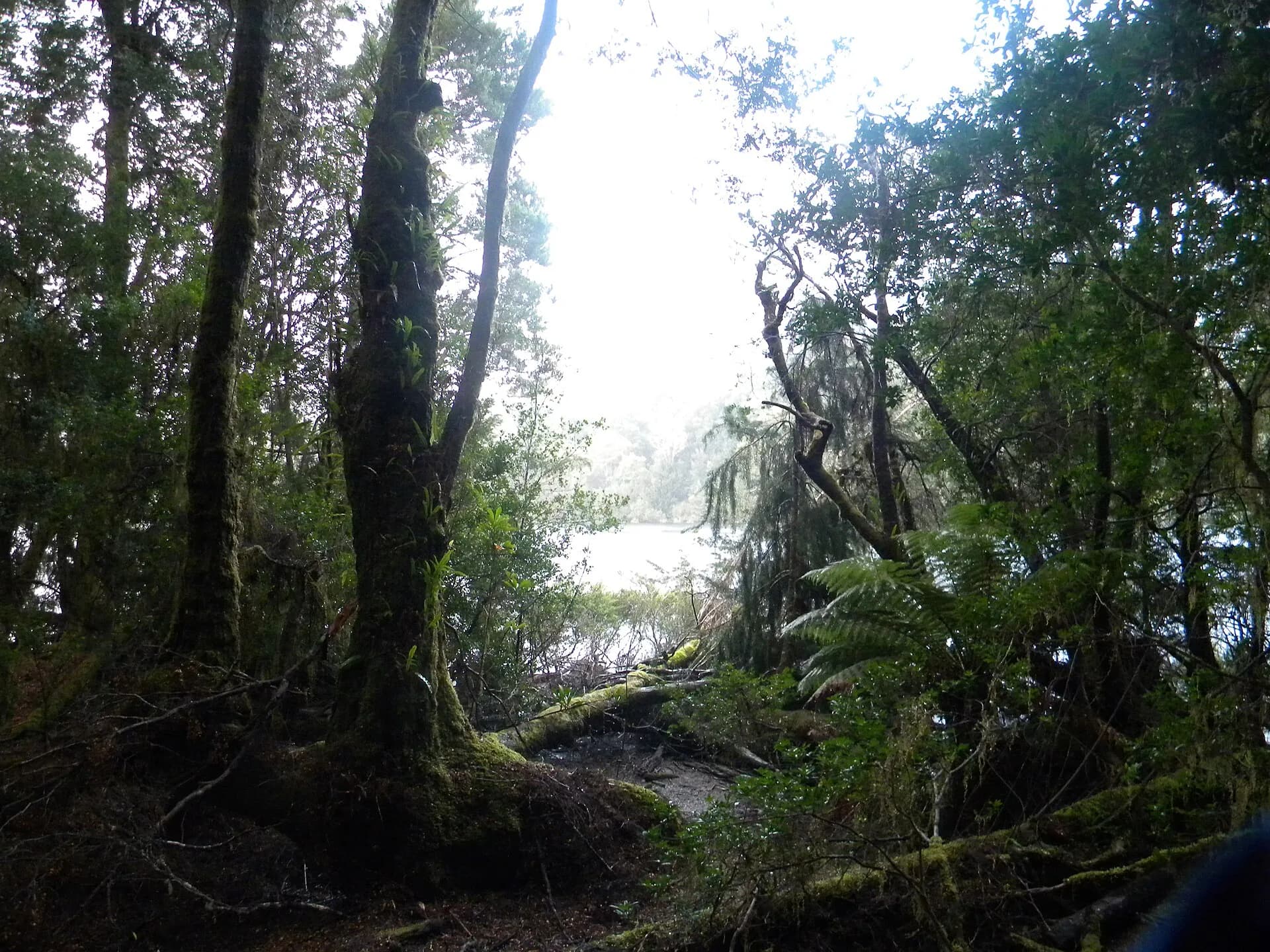

Trowutta is a rural locality south of Smithton where dairy country meets wet forest and karst. Its name appears on older touring lists beside sinkholes, forest walks and former attractions, but each site now needs separate current access checks.
The district is broader than one sinkhole
Karst drainage creates caves, depressions and forested sinkholes across the wider area. Some lie in reserves, while others are on private or operational land. A named feature on an old map does not create public access.
.jpg)
Use LISTmap and the current land manager's advice, stay on formed routes and never enter caves or sinkholes without permission, equipment and specialist knowledge.
Old attraction lists are unreliable
Dismal Swamp's former visitor attraction is closed and undergoing redevelopment planning in 2026. Other historic timber or garden listings may also have changed ownership, hours or access. Verify each operator directly before leaving Smithton.

Build a current far north-west day
Smithton is the service base. The Dismal Swamp guide explains its current closure, while the takayna / Tarkine guide and current Parks Tasmania information can identify managed forest alternatives.
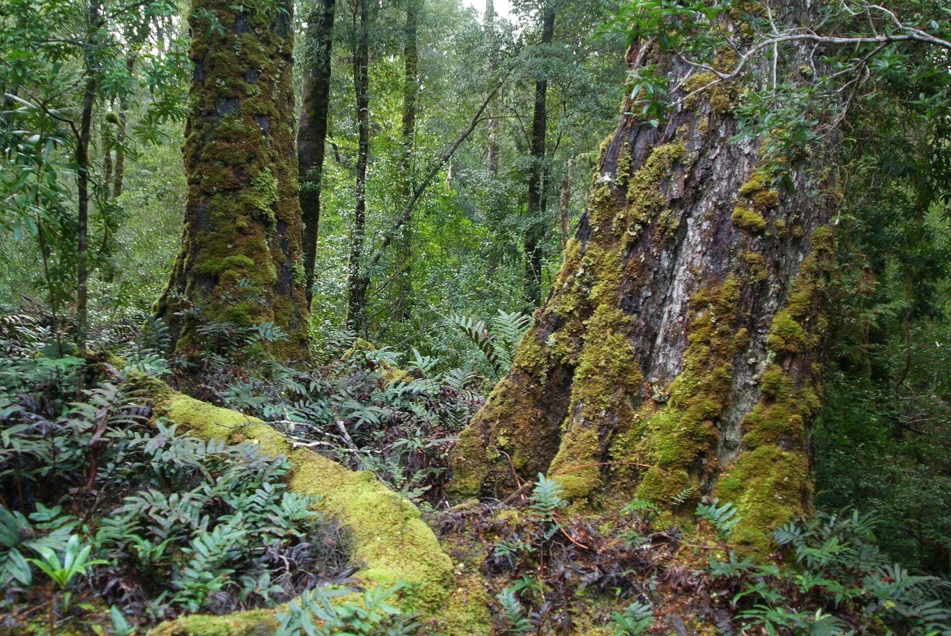

Rural roads can be narrow, wet and used by milk tankers and forestry vehicles. Avoid night driving and do not block gates or turn in private yards.