
Route overview
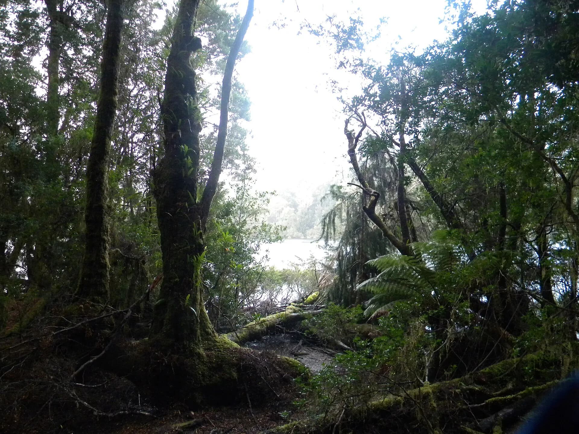
The Tarkine Drive follows roughly 125 kilometres of signed roads along the northern fringe of takayna / the Tarkine in Tasmania’s North‑West. The route runs from the vicinity of Marrawah and Arthur River along the Arthur River Road (C214) and links inland via Rapid River Road (C218). Along the sealed sections you will pass coastal heath and dune country, buttongrass plains and pockets of cool temperate rainforest beside tannin‑stained rivers.
Where the drive begins and how it links up
From Smithton the start of the Tarkine Drive sits about 50 kilometres beyond the town toward Marrawah and Arthur River. The route connects to other regional drives such as the Western Explorer, which links the north‑west coast with the west coast around Strahan. Main arterial roads on the drive are generally sealed and signed. Several side tracks and access roads are unsealed and changeable by season.
Signature stops and short walks
Key highlights along the route include the Edge of the World lookout, a short boardwalk and viewpoint over exposed coastal rocks and dunes. Sundown Point, also recorded as Laraturunawn, contains known Aboriginal rock carvings and is reached by a short inland track. Rebecca Lagoon and Julius River reserves offer easy walks through paperbark and forest with picnic and barbecue facilities. Trowutta Arch and nearby sinkholes are reached by a short rainforest walk and are a distinct geological feature on the drive.
Other named stops include Lake Chisholm with flooded limestone sinkholes reached via a short forest walk, Milkshake Hills with boardwalks and a one hour loop, Sumac Lookout over the Arthur River, Kanunnah Bridge picnic area and the longer Balfour Packhorse Track through cool temperate rainforest. Several of these stops are described as easy to moderate short walks suitable for most visitors, while the Balfour Packhorse Track is rated difficult and takes multiple hours.
Karst, rainforest and wildlife to expect
The route passes examples of Tasmania’s peatlands, large dune fields and cool temperate rainforest. Forests inland grow on richer plateau soils while heath and sedgeland communities occupy the coast and plains. Wildlife sightings commonly cited for the area include Bennetts wallaby, pademelon and wombat in grassland, and species such as Tasmanian devils, brushtail possums and spotted‑tailed quolls at dusk. Birdlife is varied from wedge‑tailed eagles over the hinterland to shorebirds such as red‑capped plovers and fairy terns along the coast. Ground parrots, hooded plovers and the orange‑bellied parrot are listed as species of particular interest within the region.
Vehicle access, suitability and permits
Main arterial roads on the Tarkine Drive are generally passable in a conventional 2WD vehicle. Many coastal access tracks, reserve roads and southern approaches are unsealed and may require a high clearance 4WD. A 4WD is specifically necessary for some southern tracks into the Arthur‑Pieman coastal sector.
Arthur‑Pieman Recreational Driver Passes are required to use vehicle tracks off the main roads within the Arthur‑Pieman Conservation Area. Conventional 2WD vehicles can use main sealed arterial roads without a pass, but you must purchase the pass to drive on designated 4WD tracks. Road condition and surface quality change rapidly after rain, so vehicle choice should reflect your planned detours.
Corinna, the Pieman crossing and vehicle limits
If you approach from the south the Pieman River crossing at Corinna is the only vehicular crossing there. The crossing is a cable‑driven vehicular punt that operates year‑round on published seasonal hours. The barge carries vehicles for a flat crossing fee collected on board. There are firm limits on vehicle width, wheelbase and total load, so confirm the operator's published dimensions and capacity before travel if you are towing a caravan or travelling in a larger vehicle.
Road surfaces, seasonality and wildlife on the road
Unsealed routes such as sections of the Western Explorer and many coastal access roads can become boggy or impassable after wet weather. Some of these routes are recommended only for 4WD vehicles with appropriate ground clearance and recovery equipment. Mobile phone signal is limited or absent across much of the route, and roadside wildlife is most active at dawn, dusk and after dark. Parks guidance recommends avoiding driving within reserves at night where possible and driving slowly where animals may be present.
Facilities, visitor information and practical checks
Arthur River Field Centre provides visitor information, maps and the latest track updates and is open daily during published hours. Several picnic areas along the drive have toilets and barbecue facilities. Julius River has a motorhome parking site and small forest camping areas are available at named stops.
Before you leave the last town with reliable service check the following. Confirm current road conditions and any seasonal closures with Parks & Wildlife Tasmania. Buy any required Recreational Driver Passes if you plan to use vehicle tracks away from the main roads. If you plan to arrive via Corinna, verify the Pieman barge operating hours, vehicle limits and crossing fee for your vehicle and towing combination. If you are travelling in a campervan or electric vehicle plan for limited on‑site power in remote settlements, because some wilderness villages run on solar and cannot provide EV charging.
Cultural respect and simple safety measures
Takayna / the Tarkine is a living cultural landscape with many Aboriginal heritage sites. Respect clearly signed cultural sites and remain on formed tracks. Leave artefacts and rock art undisturbed. Carry water, a basic first aid kit and a paper map or an offline map download, and allow extra time for short walks so you can visit features without rushing.