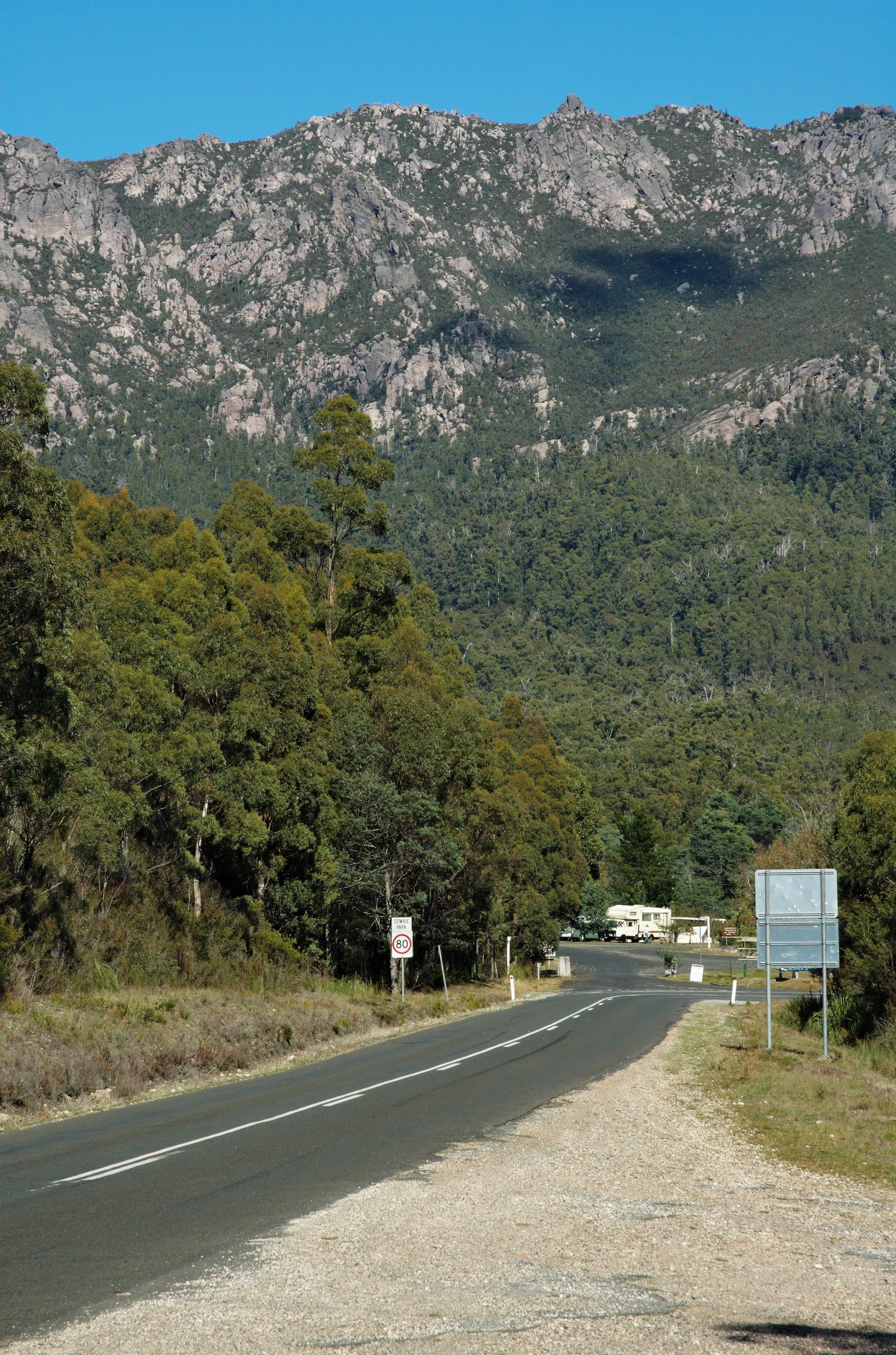

Where it sits and how to reach the trailhead
Mount Roland Regional Reserve lies a short drive south of Sheffield in Tasmania's north west. The usual approach from Sheffield is along Claude Road (C136) to Gowrie Park, then left onto O'Neills Road for about a kilometre to the trailhead. O'Neills Road is unsealed so allow extra time, and try to avoid driving in the reserve after dark because native wildlife is active on the roads.
Walks on the range and who they suit
The reserve offers several distinct walks with different commitment levels. Mount Roland is the highest point at 1,233 metres and is listed as a Grade 3 walk of around 16 kilometres return, typically taking 4 to 6 hours. Mount Vandyke and Mount Claude are steeper or more technical options. Mount Vandyke is a Grade 4 walk of roughly 11 kilometres return and may include rock scrambling. Mount Claude Lookout is a shorter Grade 4 outing of about 5 kilometres return and can provide good country views. O'Neills Creek Nature Trail is a brief Grade 3 walk of about 1 kilometre one way and takes about 20 minutes, suitable for a relaxed forest wander.
What to expect on the Mount Roland track
The ascent starts with a gentle climb through eucalypt woodland before the track becomes steeper and opens onto a plateau of buttongrass plains and heath. After about 15 minutes across the plateau there is a platform with a table and bench seats that serves as a good rest point for those turning back. Beyond that, the route crosses loose rocks and finishes with a short boulder scramble to the summit, where wide views extend north to Bass Strait and south towards ranges such as Cradle Mountain on clear days. The Mount Roland track can be walked as an out-and-back or combined with the Mount Vandyke track to form a circuit; the combined route is recommended only for experienced walkers due to steep ascents and navigation challenges.
Conditions, hazards and seasonal notes
Weather in alpine and subalpine areas can change quickly. Snow, rain, wind and sun are all possible at any time of the year. Between October and March there is also the potential for bushfire risk. Because conditions can turn cold and wet, walkers should carry adequate waterproof and warm clothing, and be prepared for sudden deterioration in weather. Tracks include loose rock and boulder sections that require careful foot placement and attention to signage. The reserve contains sensitive alpine vegetation, so stay on formed walking tracks to protect the environment and for your own safety.
Facilities, rules and conservation
There are no facilities at the Mount Roland trailhead. Public toilets and picnic facilities are available in Gowrie Park instead. Campfires are not permitted in the reserve. Dogs and bikes are also not allowed on the walking tracks. These rules support both visitor safety and conservation of fragile alpine ecosystems.
Planning, safety checks and recommended kit
Plan your walk to match your fitness and experience. Before you leave, check the weather forecast and choose a track grade that suits your party. Avoid walking alone and let someone know your intended itinerary. Use the trip log book where provided and be prepared to turn back if conditions deteriorate.
Recommended clothing and equipment for alpine walks includes a waterproof jacket with a hood and a storm-front design, waterproof overtrousers, sturdy walking boots, warm layers such as a fleece or wool jumper and thermal base layers, plus a hat and gloves. If you are walking in remote or uncertain conditions, carry extra food, a map, and consider a personal locator beacon and an emergency shelter or tent. Records note that people have died when caught unprepared in cold, wet and windy conditions; those at higher risk include children, older people and people with underlying illness or disability.
Maps, contact and sensible last checks
Buy a topographic map for the area from TasMap before heading out. The Parks and Wildlife Service north west office for enquiries is the Leven Field Centre. Before driving to the trailhead, confirm road and weather conditions, remember that the final approach is on an unsealed road, and plan to arrive with enough daylight to complete your chosen walk.