
Landscape and why people go
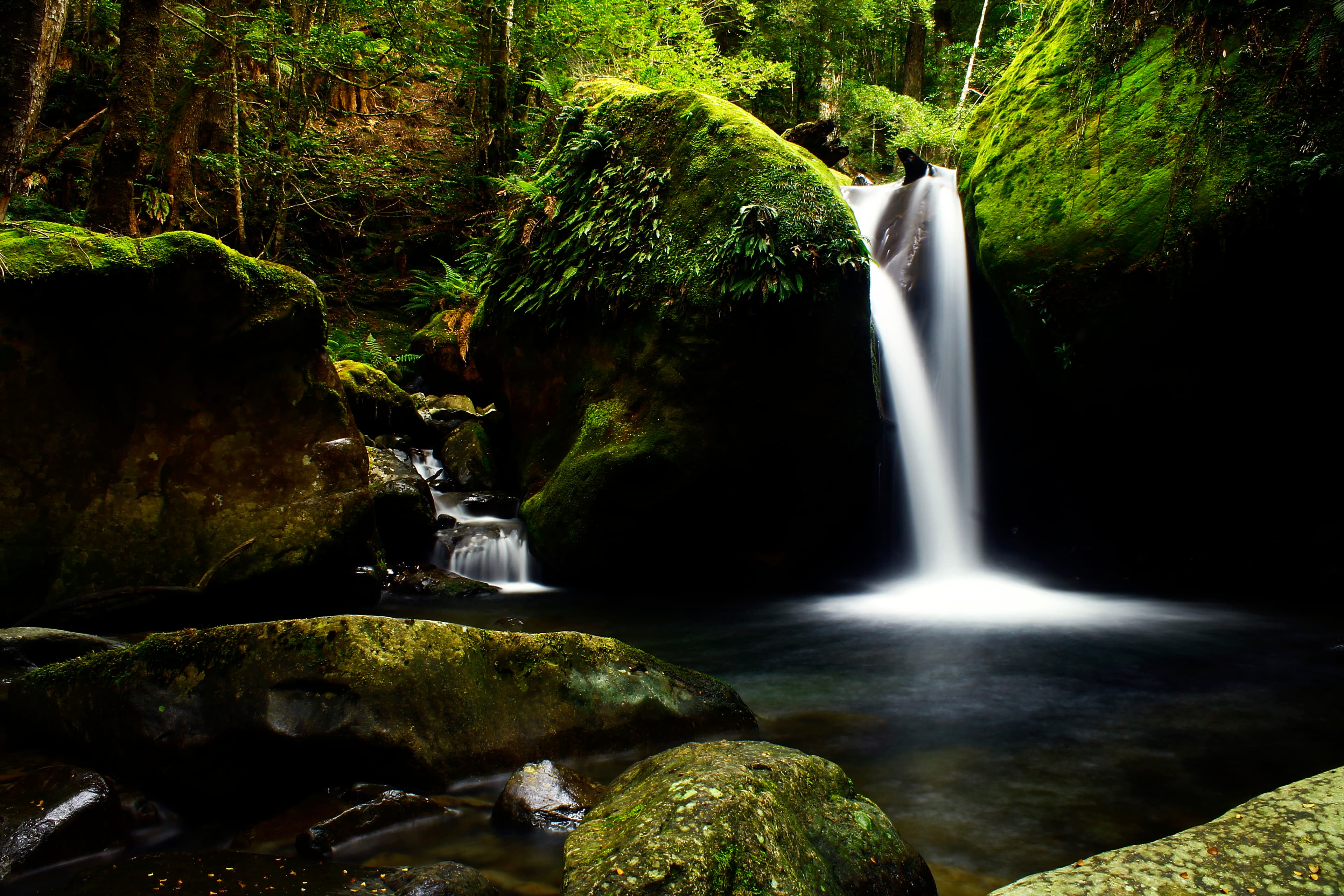
The Great Western Tiers Conservation Area sits at the northern edge of the Tasmanian Wilderness World Heritage Area. The terrain ranges from dramatic dolerite cliffs and deep gorges to subalpine woodland, lakes and pockets of temperate rainforest. Pencil pine groves, sphagnum peatland and old growth eucalypt forest are all part of the mosaic that supports native birds and mammals.
Expect a mix of short walks and full day routes. The area was shaped by long human use, so many formed tracks follow old cattle, trapping and logging routes. Cultural heritage is present across the Tiers; several Aboriginal and early European sites exist and should be treated with respect.
Getting there and parking
The Conservation Area is accessible from Launceston, Devonport and Deloraine. From Launceston the common route is via the Bass Highway to Deloraine, then Mole Creek Road (B12) and onward via Dairy Plains Road (C168) to Western Creek and the junction with Westrope Road. Signposts near Westrope Road point to the main trackheads.
Most walk starts and parking areas are off Westrope Road. Parking is generally basic, with several rough gravel car parks rather than sealed lots. Road surfaces to some heads are unsealed; allow extra time and reduce speed.
Walks and track conditions
Tracks vary from short, well‑formed walks to steep, exposed day routes. Higgs Track is described as a rewarding day walk that rises up the escarpment, with steeper sections and well maintained surfaces on much of its length. Lady Lake Hut is noted as a lunch stop on that route.
Western Creek Track links to Whiteley Hut and Lake Ironstone. The first kilometre of Western Creek Track is particularly rough and boulder strewn, so expect slow going at the start and sturdy footwear.
Shorter options include Syds Track (about 1.5 hours) and Mother Cummins Track (about 2 hours). Most trackheads begin along Westrope Road, with route information shown on the signpost at the junctions.
Always observe track signage and remain on formed walking tracks to protect fragile alpine vegetation and for your own safety.
Safety, weather and required gear
Weather on the Tiers can change rapidly. Snow, rain, wind and sun are all possible in any season in alpine areas. Many tracks are subject to flash flooding; check the weather forecast and local conditions before you go.
For alpine walks include at minimum a waterproof jacket with hood and a storm front, waterproof overtrousers, sturdy walking boots and warm clothing such as a fleece or woollen jumper, thermal base layers, hat and gloves. The parks advice highlights that people have died when caught unprepared by cold, wet and windy weather, and that children, older walkers or those with illness or disability face greater risk. Pack and plan accordingly.
Carry a map and know the route. A TasMap for the Great Western Tiers is recommended and local visitor centres can advise on current track conditions.
Fires, camping and permitted equipment
The majority of the Conservation Area is part of the World Heritage Area and is designated a Fuel Stove Only zone. Campfires are not permitted. No permit or fee is required to visit the Conservation Area, but fuel stove rules must be followed.
If you plan to stop for lunch or a longer break at huts such as Lady Lake Hut or Whiteley Hut, bring a lightweight stove for cooking and a small, packable shelter if conditions deteriorate. Huts are described as places to rest; check access and suitability for your party in advance.
Dogs, bikes and other access rules
Dogs and bikes are not permitted on the trails. Companion dogs may be allowed on some tracks with prior authority,contact the Great Western Tiers field centre for clarification if you need exemption. Observe restrictions to protect wildlife and sensitive vegetation.
Who this is suitable for and practical checks
The Tiers suit walkers with a range of fitness levels: short boardwalks and short tracks for moderate fitness, and longer, steeper day walks for experienced hikers. Some tracks have rough, rocky sections that require good footwear and some route finding.
Before you travel:
- Check the weather forecast; flash flooding is a known hazard.
- Carry appropriate alpine clothing and waterproofs.
- Buy or download a TasMap for the area and familiarise yourself with routes.
- Contact the Great Western Tiers visitor information in Deloraine if you need current advice or have questions about companion dog permissions.
- Avoid driving in reserves after dark; wildlife crossings are common and road conditions are shared with native animals.
Practical notes for planning
Signage at the Westrope Road junction indicates distances to main tracks, but some car parks are rough gravel. Allow extra time for unsealed road sections. There is no entry fee, but environmental rules are strict: plan to leave no trace and follow fuel stove only requirements.
Local towns such as Deloraine, Mole Creek and Westbury act as gateways for services and accommodation. A visitor information centre in Deloraine can provide maps, current track advice and guidance on access. If you are unsure about conditions or your party's fitness, check with that centre before setting out.