

Southport sits on a sheltered bay about 90 kilometres south of Hobart. It is one of Australia’s most southerly townships and a practical transition between the settled Huon Valley and the more remote roads towards Lune River, Ida Bay and Cockle Creek.
A small coastal community
The township has a maritime and fishing history, a public boat ramp and a strong local identity. Services are limited and opening hours vary, so buy essential food and fuel earlier in the Huon Valley and confirm accommodation arrangements before arrival.
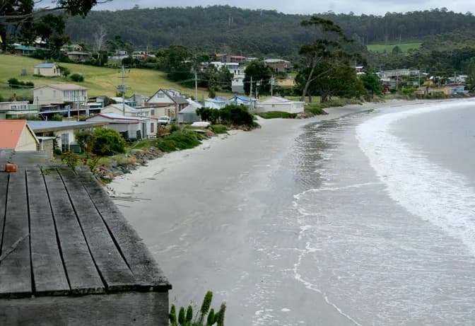

Beaches, boats and changing weather
Southport Bay is more sheltered than the exposed Southern Ocean coast, but wind, rain and cold fronts still arrive quickly. Boat users need current marine forecasts, local ramp conditions and all required safety equipment.
The foreshore includes homes and working access points. Use signed public areas and keep private driveways, jetties and boat-launch approaches clear.
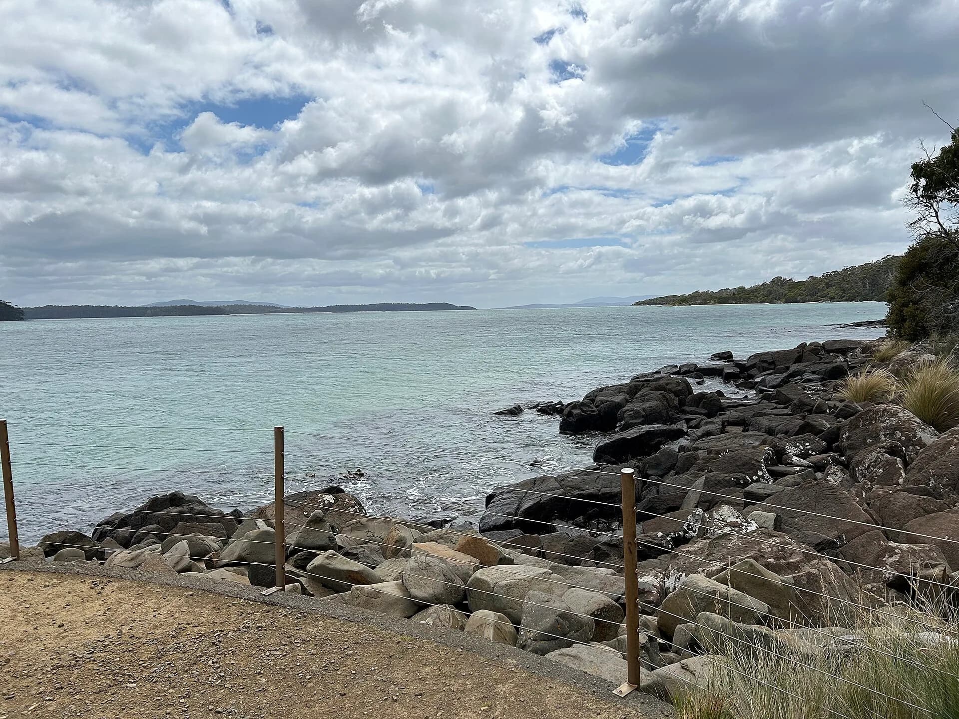

Onward to Cockle Creek
The road continues past the Southport turn-off towards Hastings Caves, Lune River and Cockle Creek. Parks Tasmania says the final section beyond Ida Bay is gravel and can be negotiated by two-wheel-drive vehicles, campervans and towing vehicles with care.
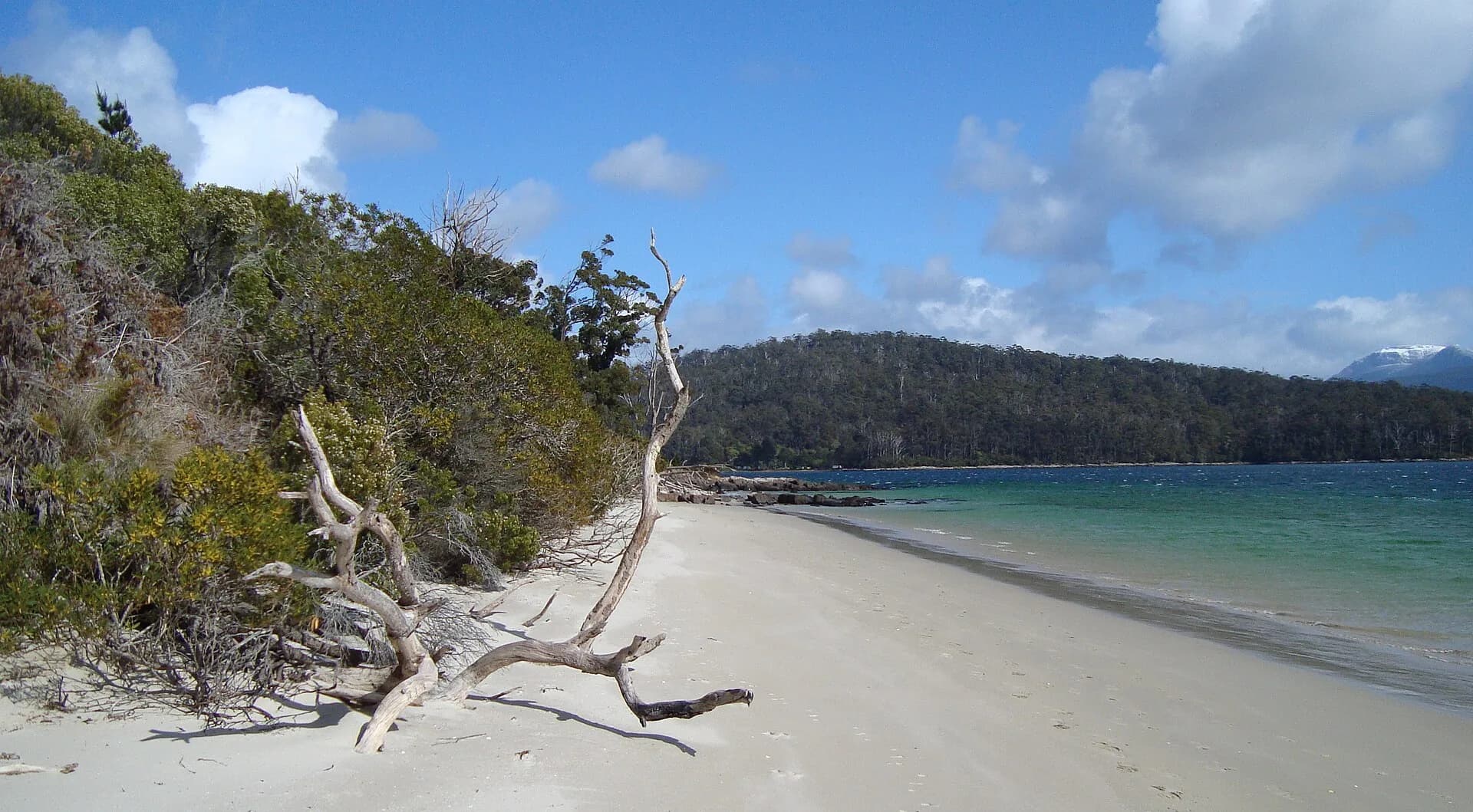

Cockle Creek facilities are basic, water is untreated and the national park is fuel-stove only. It is the end of the public road, not a quick urban excursion. For a broader plan, connect Southport with Dover and the Lower Huon Valley, then give the far south a full day or overnight stay.