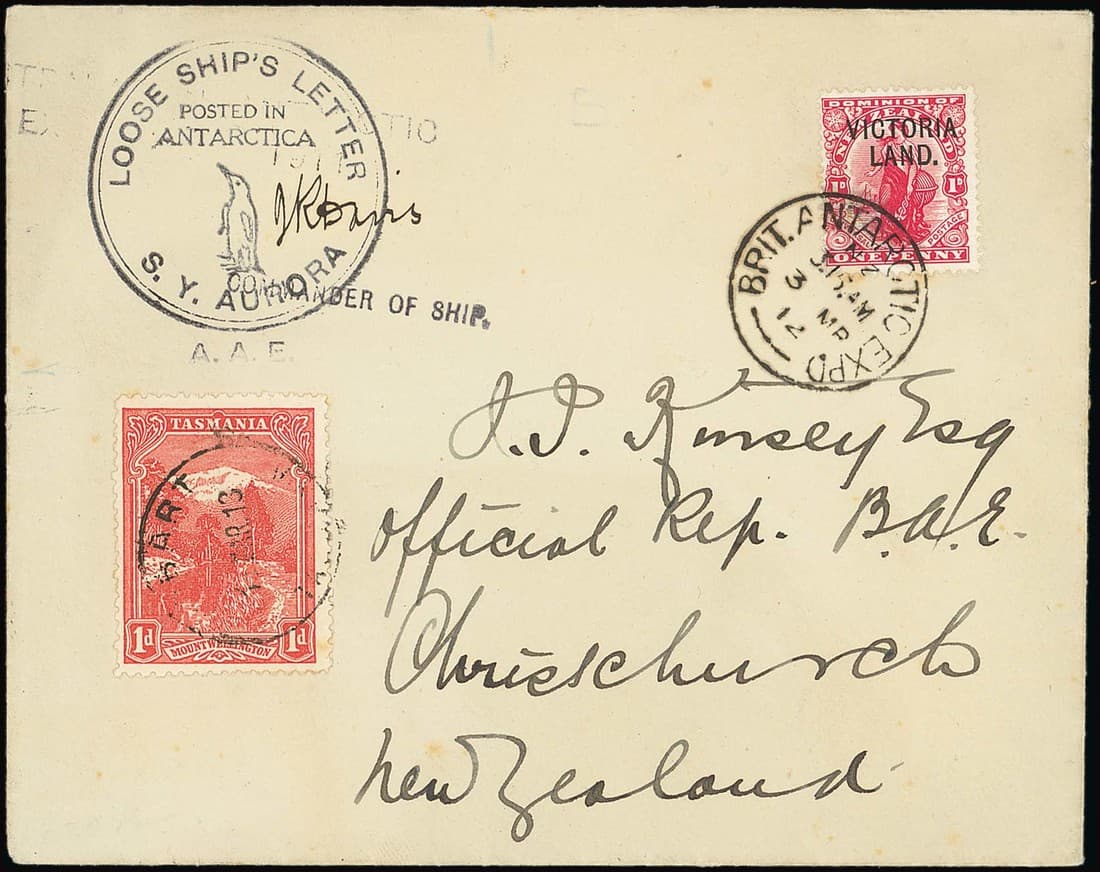

Start in Hobart: museums and archives
Begin with Tasmania’s cultural institutions. The Maritime Museum Tasmania presents a dedicated exploration gallery that interprets European voyages and coastal surveys. Libraries Tasmania and the State Library and Archives hold a range of recently digitised material useful to visitors and researchers, from shipboard journals to photographic collections. Before you travel, search the library catalogue and the Tasmanian Names Index to see what is available online and whether items require an appointment.
Where original records and images live
Tasmanian collections include shipboard journals, convict registers, daguerreotypes and photographic series. Examples in the holdings are a 19th century shipboard journal kept on the Star of Tasmania, Thomas Bock’s notes on early photography and portraiture, and extensive convict lists and gratuity books for the Tasman Peninsula. If you are researching people or vessels, plan time for catalogue searches: many items have been digitised recently, but not every record is online and some series still require in-person consultation.
Museums to visit and what they show
Bass & Flinders Maritime Museum at George Town focuses on the 1798 voyages of George Bass and Matthew Flinders, displays a replica of the sloop Norfolk and holds logbooks, charts and photographs. The Maritime Museum Tasmania’s Carnegie gallery treats the broader story of European maritime exploration of Tasmania, including early Dutch and French visits and 19th century coastal surveying. These venues are aimed at general visitors and families as well as people with an interest in navigation and charts; exhibitions and opening hours can change, so check with the museum before arranging travel.
Coastal places tied to early encounters and surveys
Key coastal locations mentioned in exploration accounts include Adventure Bay and Bruny Island, where early British anchorages were recorded, and the D’Entrecasteaux Channel and Maria Island, which feature in French surveys. The Baudin expedition made multiple landings and surveys in south-east Tasmania in 1801–1802, and accounts note interactions with local people and corrections to charts such as the status of Tasman Island and Eaglehawk Neck. These places are visited today for their natural and historic values; if you plan to approach by boat, factor in weather and tidal conditions and use local operators who understand Bass Strait conditions.
Stories behind names on the map
Abel Janszoon Tasman was the 17th century Dutch mariner who charted parts of Tasmania’s coasts and gave his name to the island in later usage. Matthew Flinders charted and circumnavigated what he called Australia, and his voyages with George Bass helped confirm Bass Strait and the island status of Van Diemen’s Land. French surveyors led by Nicolas Baudin produced detailed coastline work in 1801–1802 and were responsible for place identifications that corrected earlier charts. Museum displays and archival charts let you follow the mapping process: look for early charts and survey notes to see where boundaries and names changed.
Practical planning: access, conditions and checks
Archives and specialist collections often have rules for readers and some material remains non-digitised. Check the archive catalogue and contact the repository to confirm reading-room access and any requirements for requesting fragile items. Museums can change their displays or hours; the Bass & Flinders venue publishes regular opening times but these can be subject to seasonal change. If you intend to visit coastal sites by private boat or a small-boat operator, check marine weather forecasts and vessel seaworthiness. These are historical places with natural risks, so plan for changing conditions and carry appropriate safety gear when ashore or at sea.
Suitability and what to expect on a visit
If you are a researcher, allow extra days for catalogue work and for requesting material that may take time to be retrieved. General visitors will find galleries and replica vessels accessible for a day visit; family groups will appreciate artefacts, charts and ship models. Outdoor sites are best visited in calm weather and may involve short walks. Exhibitions sometimes show fragile portraits and early photography, including daguerreotypes, which are displayed under controlled conditions and may rotate between venues.
Making the most of the material
Plan a simple research list before you go: names, ships, or charted places you want to locate. Use museum labels and archival finding aids to link objects with the journals or registers that record the voyages. Expect details such as catalogue availability and exhibition content to change over time; confirm in advance so you avoid disappointment.