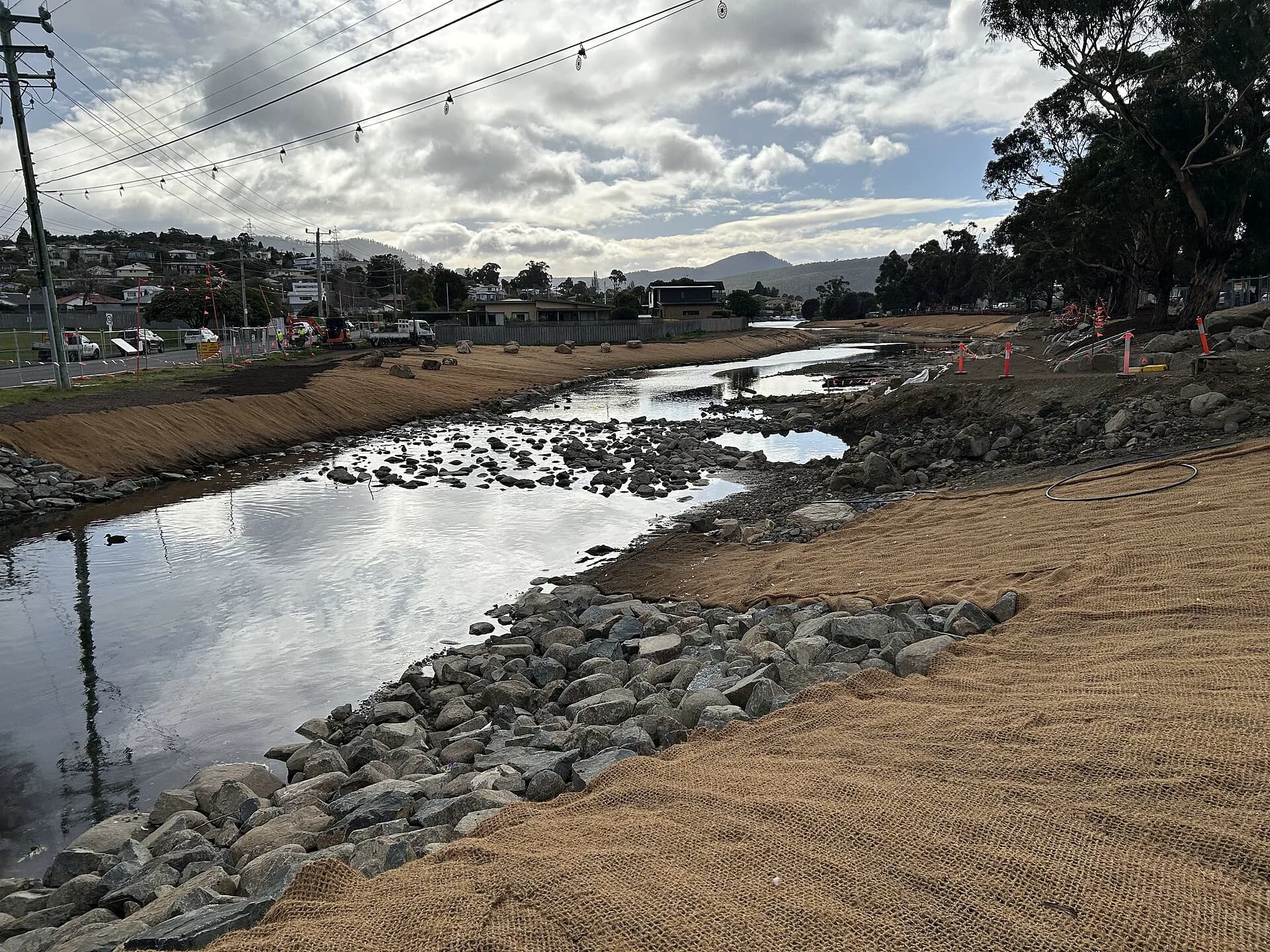

New Town Rivulet runs from the foothills of kunanyi / Mount Wellington through Lenah Valley and New Town to the River Derwent. It passes behind homes, under roads and through reserves, so there is no single continuous riverside trail.
Start at the restored estuary
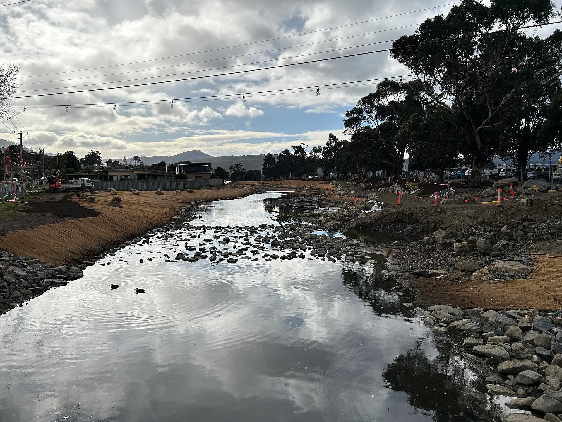
The mouth at Marine Esplanade was reworked in 2025, replacing ageing concrete banks with a more natural estuary, native planting and formal paths. The City of Hobart reports renewed use by waterbirds after the project.

Follow public sections only
Some reaches can be seen from streets and reserves, while others cross private land or drainage infrastructure. Do not enter culverts, fenced channels or back boundaries to force a continuous route.

An urban catchment under pressure
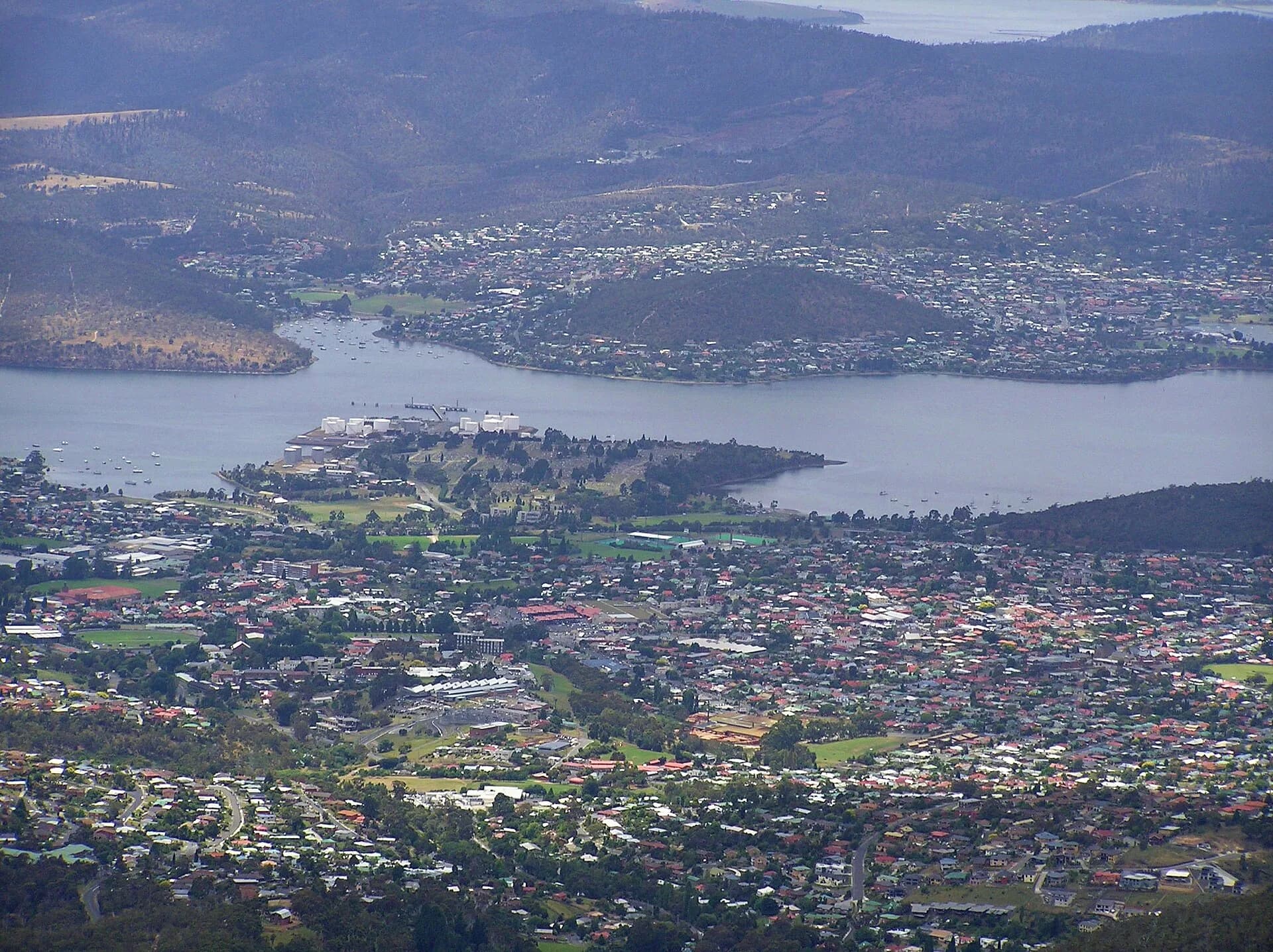
Council monitoring finds healthier waterbug communities near the headwaters and declining ecological condition downstream as urban impacts increase. Keep dogs controlled near wildlife, take litter out and avoid entering water after heavy rain.
The New Town guide adds architectural and neighbourhood context. Compare the catchment with the Hobart rivulets guide.