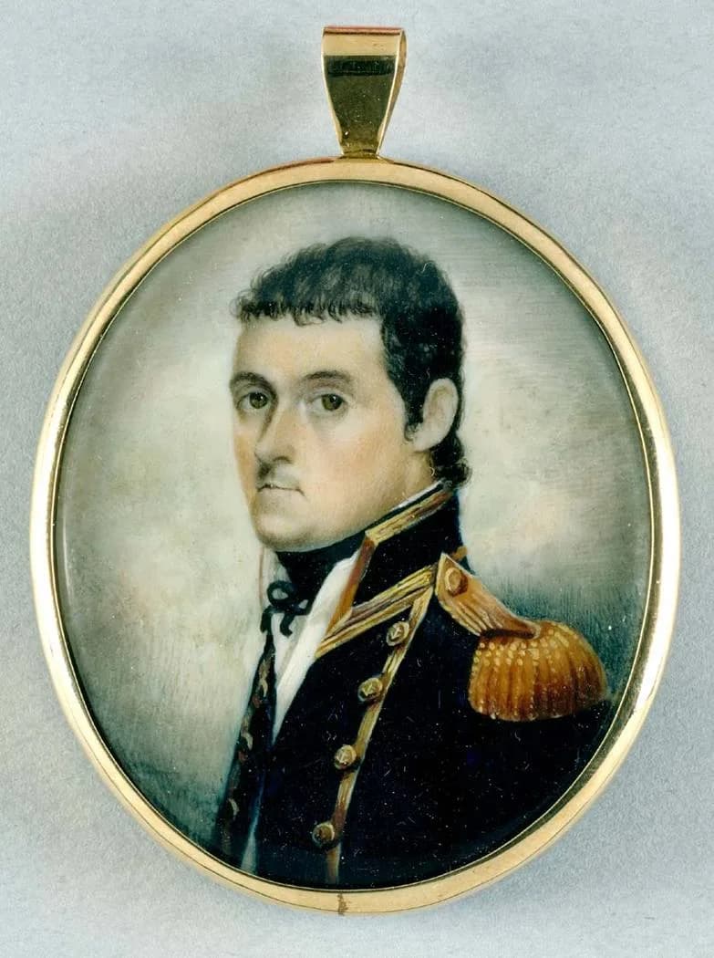

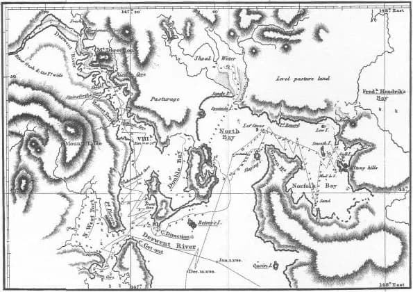
Matthew Flinders and George Bass sailed from Sydney in the sloop Norfolk in October 1798 and circumnavigated Van Diemen’s Land. Returning in January 1799, they had demonstrated to European navigators that the island was separated from the mainland by a strait.
A small vessel and a major survey
The voyage followed earlier Bass Strait work by Bass and observations by other navigators. Flinders charted coastlines, anchorages and positions from a small colonial vessel, creating evidence useful to shipping and British expansion.
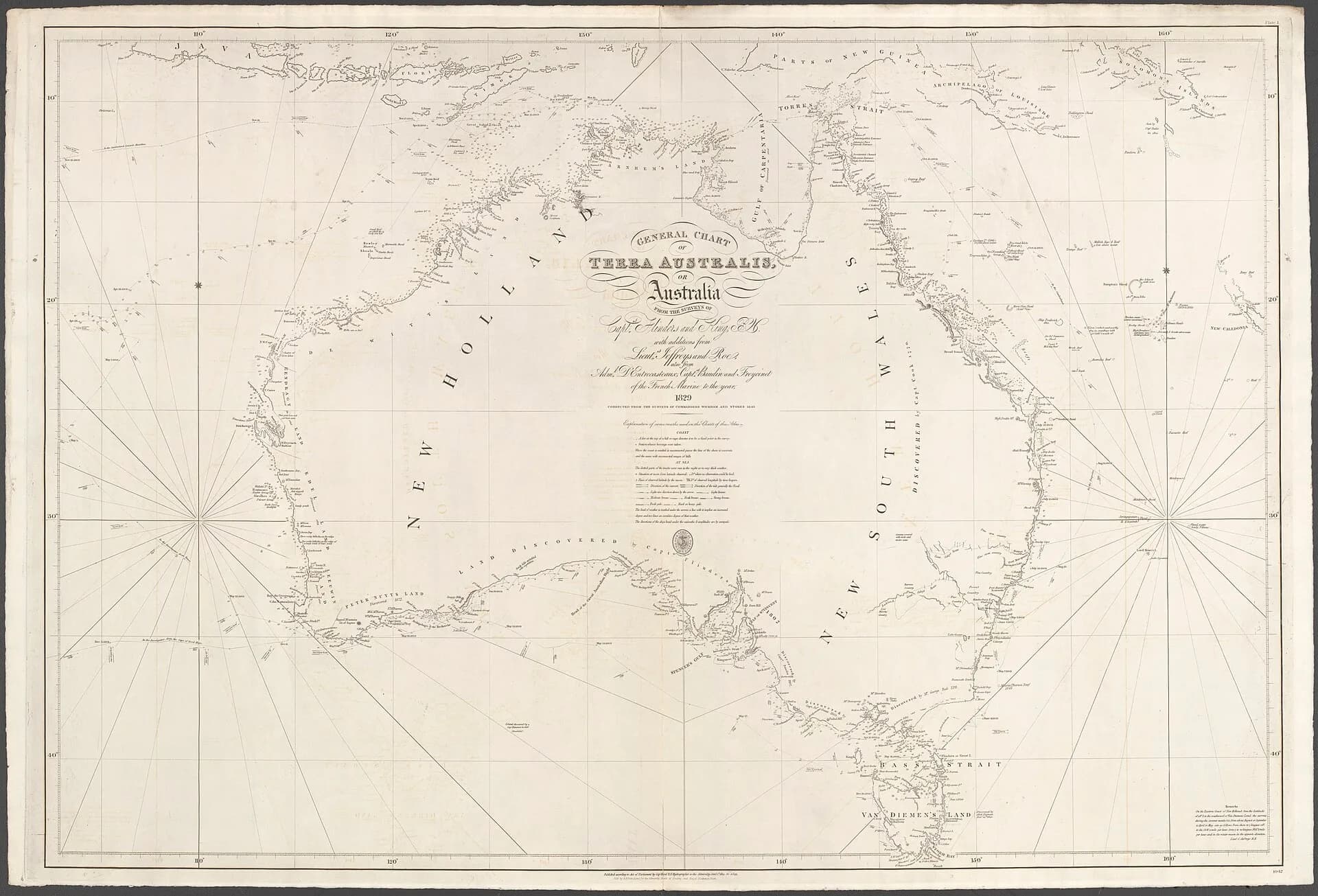

Naming Bass Strait
Flinders recommended naming the strait for Bass. The result changed voyage planning by providing a shorter route between southern ports and the Pacific, while also increasing colonial knowledge of sea Country already known to Aboriginal people.


From Tasmania to continental mapping
The experience helped prepare Flinders for the later Investigator voyage around mainland Australia. His published observations and charts influenced the adoption of “Australia”, but his work was collaborative and depended on sailors, survey knowledge and earlier records.
.png)
Compare the voyage with the Tasmanian islands guide and Nicolas Baudin’s expedition.